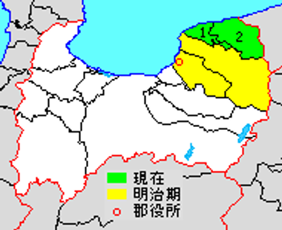
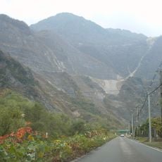
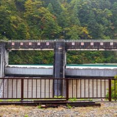
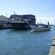
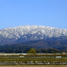
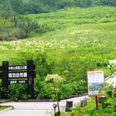
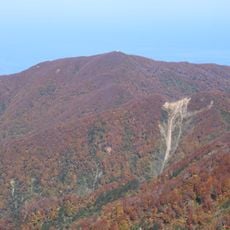
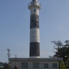
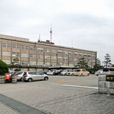
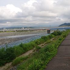
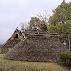
Shimoniikawa district, district in Toyama prefecture, Japan
Location: Toyama Prefecture
Inception: December 17, 1878
GPS coordinates: 36.91400,137.61600
Latest update: March 11, 2025 08:29
Mount Shirouma
21.5 km
Uozu Castle
22.4 km
Aimoto Bridge
8.1 km
Fossa Magna Park
23.6 km
Uozu Buried Forest
22.3 km
Matsukura Castle
23.2 km
Unazuki Dam
11.9 km
Mount Asahi
14 km
Dashidaira Dam
16.1 km
Uozu Buried Forest Museum
22.2 km
Mount Kurohime
17 km
Koyadaira Dam
22.9 km
生地中橋
18 km
Mount Yukikura
18.1 km
Mount Sōgadake
17.6 km
Tsugaike Nature Park
23.6 km
Mount Shiratori
9.1 km
Etchū Komagatake
18.3 km
Ikujihana Lighthouse
18.4 km
Mount Inu
8.9 km
魚津市役所
20.8 km
姫川橋梁
23.6 km
Mount Hachi
19.1 km
Nizayama Forest Art Museum
7.6 km
Jōbenoma Site
11.7 km
境橋
7.4 km
Fudōdō Site
5.6 km
Sugisawa Cedar
13.2 kmReviews
Visited this place? Tap the stars to rate it and share your experience / photos with the community! Try now! You can cancel it anytime.
Discover hidden gems everywhere you go!
From secret cafés to breathtaking viewpoints, skip the crowded tourist spots and find places that match your style. Our app makes it easy with voice search, smart filtering, route optimization, and insider tips from travelers worldwide. Download now for the complete mobile experience.
A unique approach to discovering new places❞
— Le Figaro
All the places worth exploring❞
— France Info
A tailor-made excursion in just a few clicks❞
— 20 Minutes