
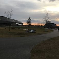
苫小牧市錦大沼公園, Park in Japan
Location: Tomakomai
Official opening: 1977
GPS coordinates: 42.61167,141.44944
Latest update: March 29, 2025 21:41

Upopoy
8.9 km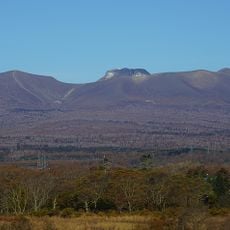
Mount Tarumae
10.6 km
Noboribetsu Bear Park
27.4 km
Noboribetsu Marine Park Nixe
28 km
Ecorin Mura
30.1 km
Noboribetsu Date Jidaimura
28.8 km
Chitose Aquarium
30 km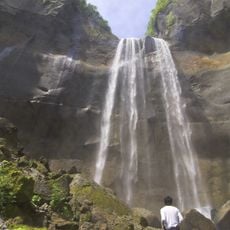
Inkura Falls
9.8 km
Upopoy
9.3 km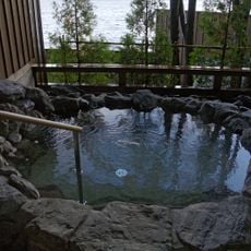
Shikotsuko Onsen
18.4 km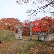
Historical remains of the Sendai clan's fort in Shiraoi
10.2 km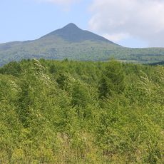
Mount Tokushunbetsu
26.2 km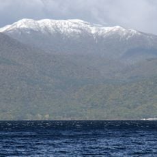
Izari-dake
29.2 km
Tomakomai Midorigaoka Park
13 km
Tomakomai Science Museum
12.9 km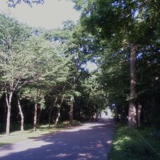
Aoba Park
27 km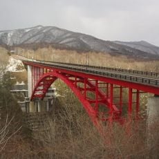
新登別大橋
30.1 km
Tomakomai City Museum
13.7 km
National Ainu Museum
9 km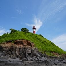
Ayoro Hana Lighthouse
27 km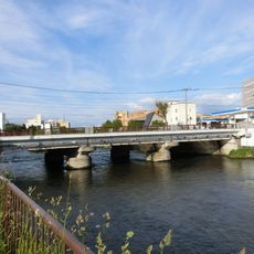
千歳橋
28.3 km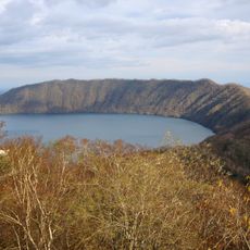
Kuttara
27.2 km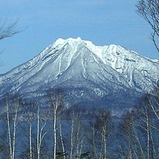
Mount Eniwa
24.3 km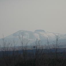
Šikocu
10.2 km
New Chitose Airport Theater
27.2 km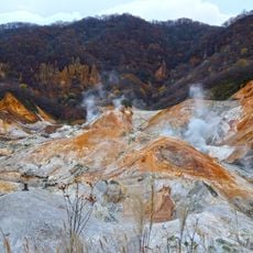
Jigokudani
27.7 km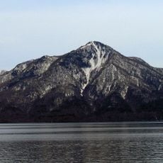
Mount Fuppushi
13.9 km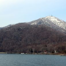
Mount Monbetsu
20.8 kmReviews
Visited this place? Tap the stars to rate it and share your experience / photos with the community! Try now! You can cancel it anytime.
Discover hidden gems everywhere you go!
From secret cafés to breathtaking viewpoints, skip the crowded tourist spots and find places that match your style. Our app makes it easy with voice search, smart filtering, route optimization, and insider tips from travelers worldwide. Download now for the complete mobile experience.

A unique approach to discovering new places❞
— Le Figaro
All the places worth exploring❞
— France Info
A tailor-made excursion in just a few clicks❞
— 20 Minutes