
Rondhøe, Berggipfel in Norwegen
Location: Skjåk
Elevation above the sea: 1,310 m
GPS coordinates: 62.10427,7.78539
Latest update: March 10, 2025 18:46

Dalsnibba
27.5 km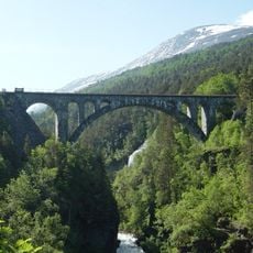
Kylling Bridge
29.7 km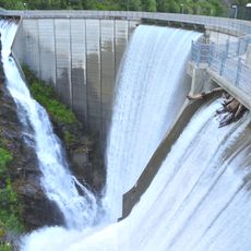
Zakariasdammen
18.8 km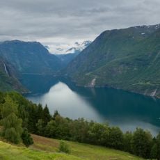
Tafjorden
30.7 km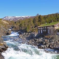
Reinheimen National Park
9.2 km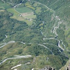
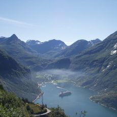
Geiranger road
29.4 km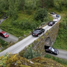
Knuten
28.8 km
Sota sæter
33 km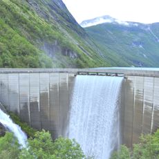
Zakariasvatnet
17.3 km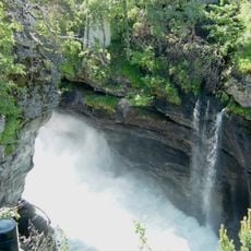
Slettafossen
28.8 km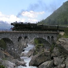
Stuguflåt Bridge
27.2 km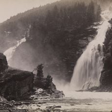
Vermafossen
30.2 km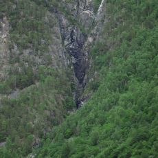
Muldalsfossen
24.7 km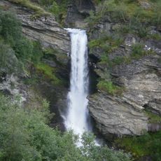
Storsæterfossen
28.9 km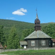
Nordberg Church
29.3 km
Tystigbreen
30.2 km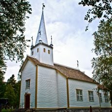
Lesjaskog Church
32.5 km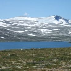
Skridulaupen
20 km
Torvløysa
27.4 km
Muldalslia
24.2 km
Kallskaret
24.5 km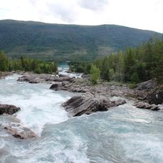
Pollfossen
16.9 km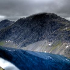
Djupvassegga
26.9 km
Strynefjellet
19.5 km
Skridulaupbu
24.3 km
Gudbrandsjuvet
30 km
Storfossen
30.2 km
Blåfjellbrakka, Geiranger
28.5 kmReviews
Visited this place? Tap the stars to rate it and share your experience / photos with the community! Try now! You can cancel it anytime.
Discover hidden gems everywhere you go!
From secret cafés to breathtaking viewpoints, skip the crowded tourist spots and find places that match your style. Our app makes it easy with voice search, smart filtering, route optimization, and insider tips from travelers worldwide. Download now for the complete mobile experience.

A unique approach to discovering new places❞
— Le Figaro
All the places worth exploring❞
— France Info
A tailor-made excursion in just a few clicks❞
— 20 Minutes