Zator, city of Poland
The community of curious travelers
AroundUs brings together thousands of curated places, local tips, and hidden gems, enriched daily by 60,000 contributors worldwide.

Energylandia
2.1 km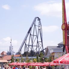
Hyperion
1.9 km
Zadra
2.6 kmAbyssus
2.7 kmMayan
2.4 km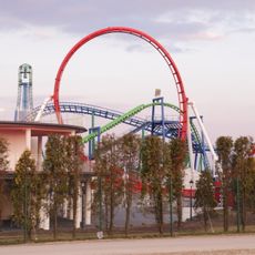
Formuła
2.3 km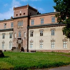
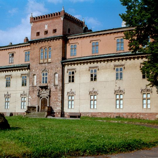
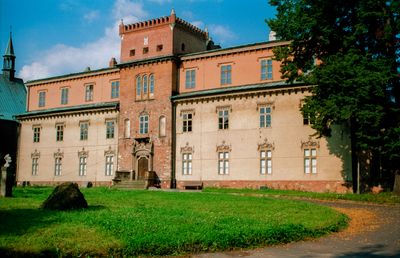
Potocki Castle in Zator
148 m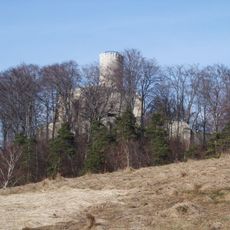
Rezerwat przyrody Lipowiec
7.9 km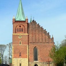
Church of Saints Adalbert and George in Zator
153 m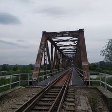
Most kolejowy w Okleśnej
6.2 km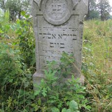
Jewish cemetery in Zator
662 m
Rezerwat przyrody Żaki
7.7 km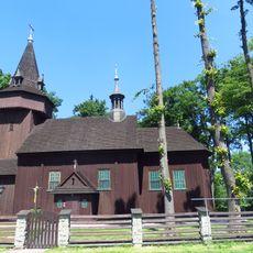
Saint James the Less church in Palczowice
1.7 km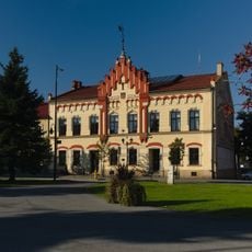
Town hall in Zator
63 m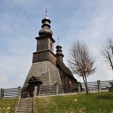
Saint Andrew church in Graboszyce
5.7 km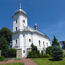
Saint John the Baptist church in Przeciszów
4.7 km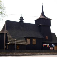
Church of the Assumption in Woźniki
7.5 km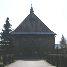
Zespół kościoła Matki Bożej Częstochowskiej w Mętkowie
7.3 km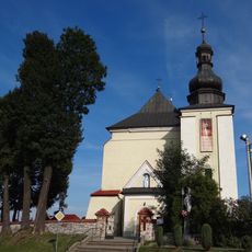
Saint Catherine of Alexandria church in Spytkowice
5.2 km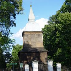
Church of Saint Nicholas in Polanka Wielka
8 km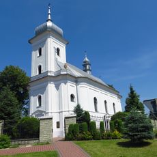
Kościół parafialny Narodzenia św. Jana Chrzciciela w Przeciszowie
4.7 km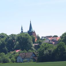
Układ urbanistyczny, XIV/XV
58 m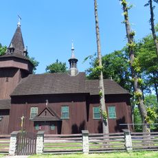
Kościół parafialny św. Jakuba Młodszego w Palczowicach
1.7 km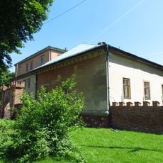
Oficyna, tzw. portierówka, ob. dom mieszkalny
115 m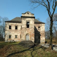
Manor house in Graboszyce
5.4 km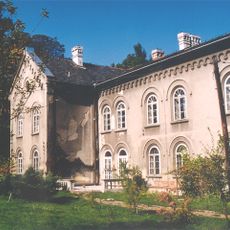
Dwór w Ryczowie
7.9 km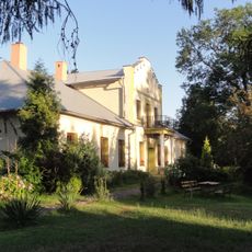
Dwór
2.8 km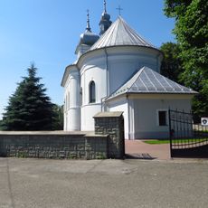
Ogrodzenie
4.7 kmDiscover hidden gems everywhere you go!
From secret cafés to breathtaking viewpoints, skip the crowded tourist spots and find places that match your style. Our app makes it easy with voice search, smart filtering, route optimization, and insider tips from travelers worldwide. Download now for the complete mobile experience.

A unique approach to discovering new places❞
— Le Figaro
All the places worth exploring❞
— France Info
A tailor-made excursion in just a few clicks❞
— 20 Minutes
