Rudawy Janowickie

Log in to your account

AroundUs is a community-driven map of interesting places, built by curious explorers like you. It grows with every review, story, and photo you share.
Connect to save your favorite spots, contribute locations, and create personalized routes.
Continue with Google
Continue with Apple
Continue with X
Continue with Facebook
Continue with email
By continuing, you accept our Terms and Conditions and our Privacy Policy
Create an account

Rudawy Janowickie

Add to collection
Map
Suggest a change
Share

Rudawy Janowickie, mountain range

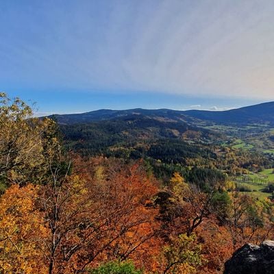
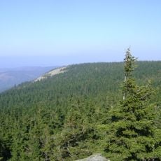
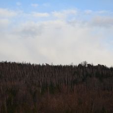
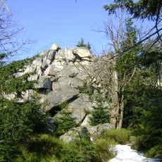
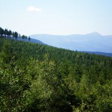
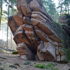
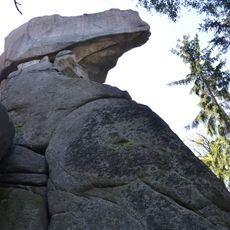
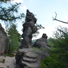
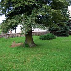
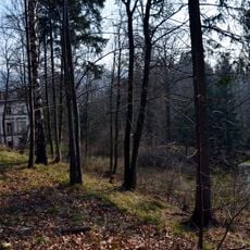
Rudawy Janowickie is a mountain range in western Poland near Jelenia Góra, built from granite with steep cliffs and rocky platforms. The landscape features old forests, soft moss-covered ground, and natural rock formations that attract climbers and hikers seeking different viewpoints throughout the range.

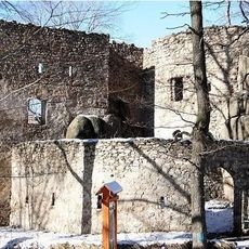
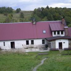
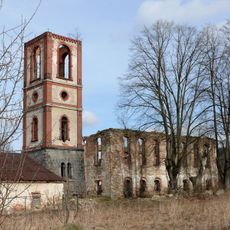
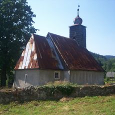
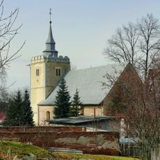
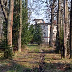
The area was historically significant for mining iron, copper, and gold from the Middle Ages onward, particularly around towns like Miedzianka. Mining activity shaped the region deeply and left behind archaeological traces including old shafts and tunnels, some of which have been opened for visitors to explore.

The hills carry the legacy of mining that shaped local identity for generations. Visitors can see how people today still move through these landscapes with knowledge of their complex past, finding ways to connect with both the historical scars and the natural recovery happening around them.

Car travel from Wrocław takes about one and a half to two hours, while from Krakow it takes roughly four hours. Trains and buses serve nearby stations like Marciszów and Trzcińsko, with marked trails and parking areas available at popular spots such as Sokolik.

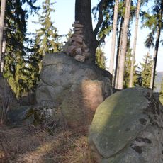
Sokolik can be reached via a metal ladder to its summit and offers views of the Karkonosze mountains on clear days. Another notable formation is Krzyżna Góra with balancing rock blocks that resemble figures or animals, inspiring local legends about ancient warriors and monks who once walked these paths.

Location: Rędziny

Reference: 332.38

Part of: Western Sudetes

Address: Rudawy Janowickie, Poland

GPS coordinates: 50.83548,15.92163

Latest update: January 6, 2026 12:53

Photos
Visit Silesia and the Sudeten: medieval castles, mountains and old towns

Silesia and the Sudeten Mountains in the southwest of Poland include old towns, wooded mountains, and signs of a rich past. You see Wroclaw with its large market square surrounded by colorful houses, Tumski Island with brick churches, and the Raclawice Panorama which shows a circular painting of a...

Reviews

Visited this place? Tap the stars to rate it and share your experience / photos with the community! Try now! You can cancel it anytime.

« Rudawy Janowickie - mountain range » is provided by Around Us (aroundus.com). Images and texts are derived from Wikimedia project under a Creative Commons license. You are allowed to copy, distribute, and modify copies of this page, under the conditions set by the license, as long as this note is clearly visible.

Discover hidden gems everywhere you go!

From secret cafés to breathtaking viewpoints, skip the crowded tourist spots and find places that match your style. Our app makes it easy with voice search, smart filtering, route optimization, and insider tips from travelers worldwide. Download now for the complete mobile experience.

Around Us App Screenshot

A unique approach to discovering new places

Le Figaro

All the places worth exploring

France Info

A tailor-made excursion in just a few clicks

20 Minutes