Kukavica, Mountain peak in southern Serbia.
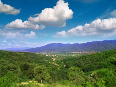
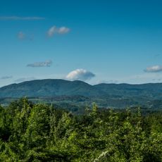
Kukavica is a mountain in southern Serbia that rises between the Vranje and Leskovac basins, reaching 1,442 meters (4,730 feet) at its highest point called Vlajna peak. The formation creates a natural barrier between two major lowland areas in the region.
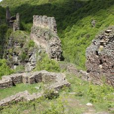
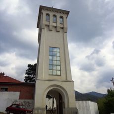
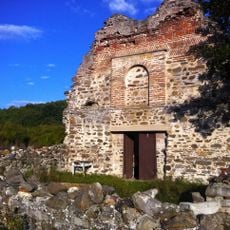
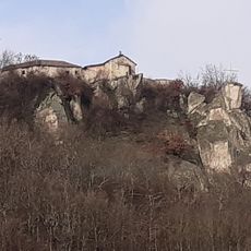
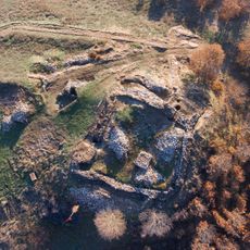
The Skobaljic Town Tower, built on a steep canyon wall overlooking a river, represents medieval Serbian defensive construction from centuries past. This structure shows how the region served strategic purposes for those who lived here long ago.
The mountain holds meaning for nearby communities through the gathering of medicinal herbs, wild mushrooms, and local goljak potatoes that people have collected for a long time. This work connects people to the land in ways that matter to their daily lives.
A ski track runs down the mountain for about 600 meters with a 22 percent slope, providing winter sports opportunities when snow is present. Plan your visit depending on the season, as winter conditions suit skiing while warmer months are better for walking and exploring.
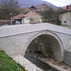
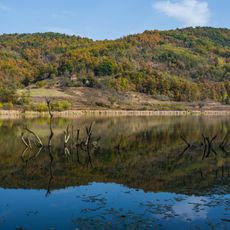
The Vucjanka River cuts through the mountain, creating a canyon system with many waterfalls and natural pools throughout. This water-carved landscape gives the area a distinctive character that many visitors find memorable.
The community of curious travelers
AroundUs brings together thousands of curated places, local tips, and hidden gems, enriched daily by 60,000 contributors worldwide.