
科罗特科耶农村居民点, human settlement in Korochansky District, Belgorod Oblast, Russia
Location: Korochansky District
Capital city: Korotkoye
GPS coordinates: 50.89028,37.27500
Latest update: March 6, 2025 14:45
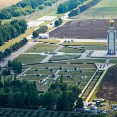
Prokhorovka field
44.4 km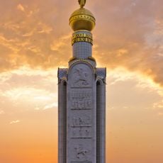
Zvonnitsa in Prokhorovka Battlefield
44.6 km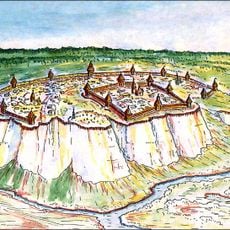
Belgorod Fortress
55 km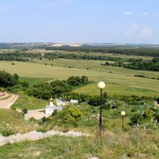
Kholky Monastery
33.9 km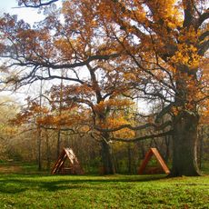
Pan Oak
47.3 km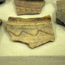
Krapivnoe site of ancient settlement
56.2 km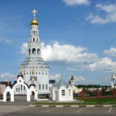
Saints Peter and Paul Church
40.5 km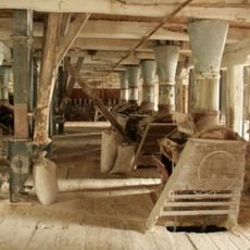
Mill of Barkov
47.7 km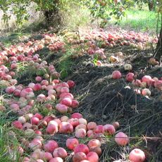
Apple orchards in Korochansky District
25.4 km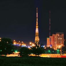
Belgorod Tower
57.5 km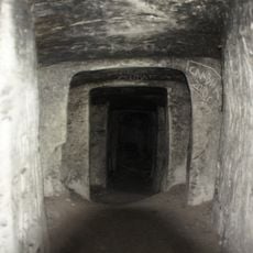
Shmarnenskaya cave
45.7 km
Dmitrievka site of ancient settlement
48.7 km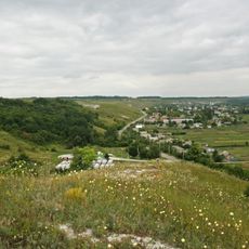
Yutanovka site of ancient settlement
57.1 km
Yamskaya step
42.1 km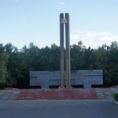
Атаманский лес
56.7 km
Bekaryukovsky bor
52.1 km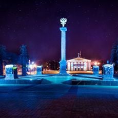
Monument to City of Military Glory (Belgorod)
57.5 km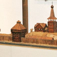
Nezhegolsk
54.3 km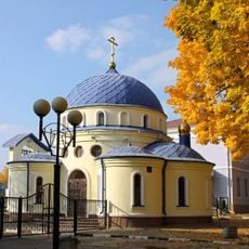
Church of Matrona of Moscow in Belgorod
57.4 km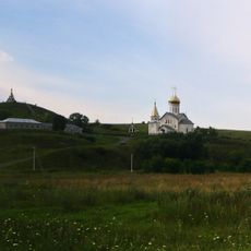
Kholky site of ancient settlement
33.8 km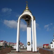
Колокол единения трёх братских славянских народов (Прохоровка)
40.7 km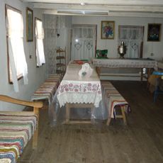
Kupino Traditional Culture Center
42.9 km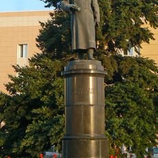
Памятник генералу Апанасенко (Белгород)
57.6 km
Монумент советско-болгарской дружбы (Старый Оскол)
57.6 km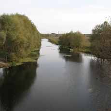
Vovchanskyi Reserve
57.3 km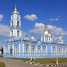
Church of the Nativity of the Theotokos (Korocha)
10.2 km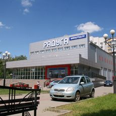
Kinoteatr Raduga
57.5 km
Church of the Protection of the Theotokos (Trostenets)
27.3 kmReviews
Visited this place? Tap the stars to rate it and share your experience / photos with the community! Try now! You can cancel it anytime.


Discover hidden gems everywhere you go!
From secret cafés to breathtaking viewpoints, skip the crowded tourist spots and find places that match your style. Our app makes it easy with voice search, smart filtering, route optimization, and insider tips from travelers worldwide. Download now for the complete mobile experience.

A unique approach to discovering new places❞
— Le Figaro
All the places worth exploring❞
— France Info
A tailor-made excursion in just a few clicks❞
— 20 Minutes