
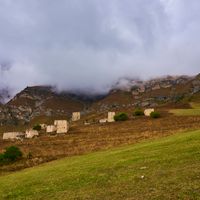
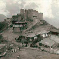
Beyni rural settlement
Beyni rural settlement, human settlement in Dzheyrakhsky District, Republic of Ingushetia, Russia
Location: Dzheyrakhsky District
Capital city: Beyni
GPS coordinates: 42.83419,44.71705
Latest update: March 10, 2025 16:29
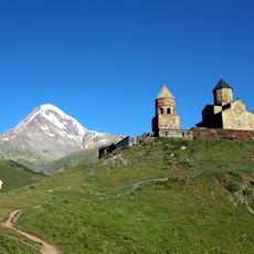
Gergeti Trinity Church
20.7 km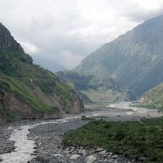
Darial Gorge
12.6 km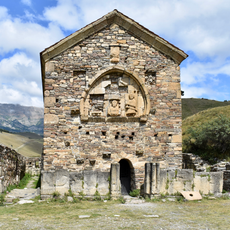
Tkhaba-Yerdy Church
18.3 km
Ермоловский камень
10 km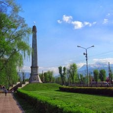
Alley of Glory
18.9 km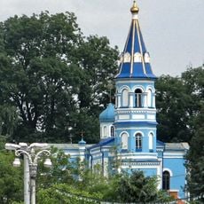
Church of the Nativity of the Virgin Mary
20.8 km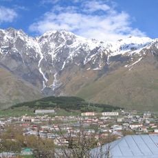
Shan
17.9 km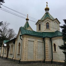
Илиайы аргъуан (Дзæуджыхъæу)
21.1 km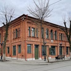
Дом Евгения Вахтангова
21.1 km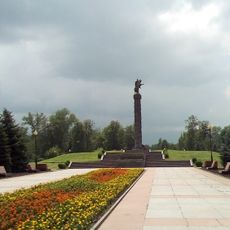
Memorial of Glory
18.8 km
Parafia Wniebowstąpienia Jezusa Chrystusa w Władykaukazie
21.2 km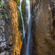
Фуртоугский водопад
4.3 km
Devdaraki
20.6 km
Necropolis near the Ossetian Church
20.8 km
Ляжгинский водопад
4 km
Chugunny bridge
21 km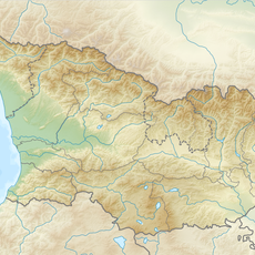
Abano Glacier
21.1 km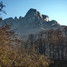
Araukhokh
11.7 km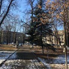
Pushkinsky Garden, Vladikavkaz
21.4 km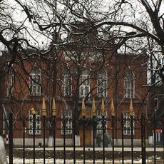
Кадетский корпус (Владикавказ)
19.2 km
Школа для детей грузинского общества
21.4 km
Здание Осетинской женской гимназии
20.9 km
Kazbegi Museum
20.3 km
Дворец начальника Терской области
21.3 km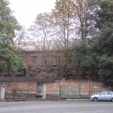
Armyanskaya Street, 21
21.1 km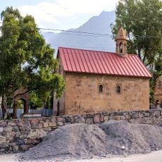
Stepantsminda Church of the Mother of God
20.2 km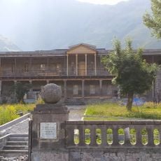
Kazbegi local lore museum
20.2 km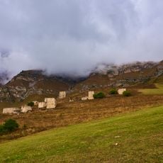
Застройка селения Бейни (9 жилых башен) (Бейни)
483 mReviews
Visited this place? Tap the stars to rate it and share your experience / photos with the community! Try now! You can cancel it anytime.

Discover hidden gems everywhere you go!
From secret cafés to breathtaking viewpoints, skip the crowded tourist spots and find places that match your style. Our app makes it easy with voice search, smart filtering, route optimization, and insider tips from travelers worldwide. Download now for the complete mobile experience.

A unique approach to discovering new places❞
— Le Figaro
All the places worth exploring❞
— France Info
A tailor-made excursion in just a few clicks❞
— 20 Minutes