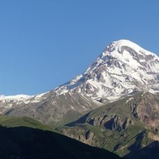
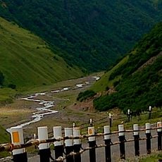
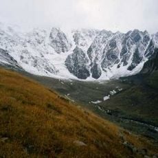
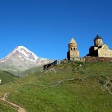
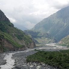
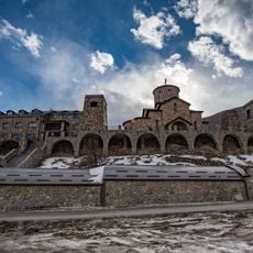
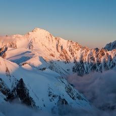
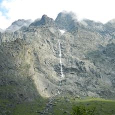
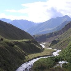
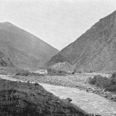
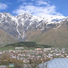
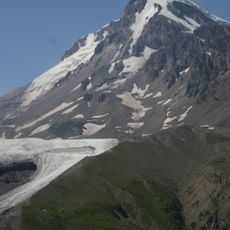
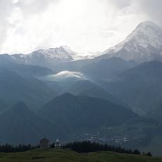
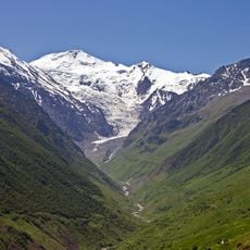
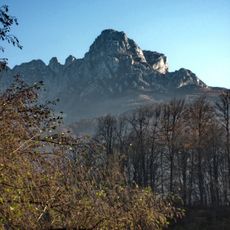
Devdaraki, Valley glacier on Mount Kazbek, Georgia.
Devdaraki is a glacier on the northeastern slope of Mount Kazbek, mainly in Georgia's Kazbegi municipality on the border with Russia. It is the largest glacier on Kazbek, 7.2 km long and 4.1 km² in area, with its lower edge at 2257 m. It has three branches; the northern one is over 1 km long and up to 320 m wide, and the surface is cut by crevasses and icefalls.
The glacier's recorded ice avalanches began in 1776, when a dammed Terek flooded villages; further large falls occurred in 1778, 1785, 1808 and 1817. On 13 August 1832 a mass of ice and rock formed a 2 km long, 100 m high dam that blocked the Terek for three days, and the Georgian Military Road took two years to reopen. The last major collapse, on 17 May 2014, buried the road and damaged a gas pipeline.
The Ossetian name Dævдæрæджы цъити and the Georgian Devdaraki are used for the ice that feeds the Amilishka, whose Ingush name means "water flowing out of small lakes". The glacier's surges are called Kazbek zavalы, "Kazbek blockages", in Russian, a term used since the 19th century for ice and rock falls that dam the Terek and cut the Georgian Military Highway.
The best time to visit is in the summer months when the mountain trails are more passable and conditions are safest. Access routes start from the Georgian Military Highway and require typical mountain hiking preparation.
The glacier's surges have a name of their own: since the 19th century they have been called "Kazbek blockages". The 13 August 1832 collapse formed a dam 2 km long and 100 m high that stopped the Terek for three days; traffic on the Georgian Military Highway was restored only two years later, and the ice melted away after seven years.
The community of curious travelers
AroundUs brings together thousands of curated places, local tips, and hidden gems, enriched daily by 93,195 contributors worldwide.