Mayli, Glacier in North Ossetia–Alania, Russia
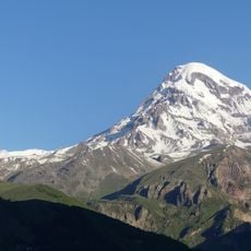
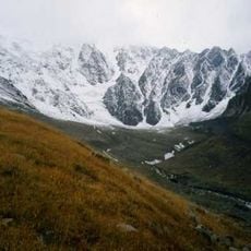
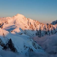
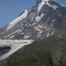
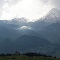
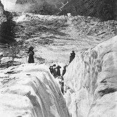
Mayli is a valley glacier on the northern slope of the Khokh Range in North Ossetia–Alania, descending steeply from the firn fields of Mount Kazbek into the headwaters of the Genaldon River. It is 5.4 km long and covers 5.9 km², with ice 50–130 m thick; its terminus lies at 2,350 m. In its middle course it forms a powerful icefall 1.5–2 km long, and its surface is notably clean, almost free of moraines.
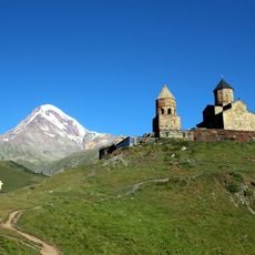
At the end of the 19th century the Kolka glacier still flowed into Mayli, later separating from it. In 1902 and again in 2002, ice-and-rock flows from the Kolka cirque reached the tongue of Mayli. The first known ascent of Kazbek by the Mayli route was made by A. V. Pastukhov in 1889.
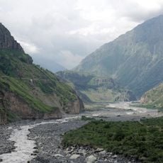
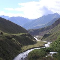
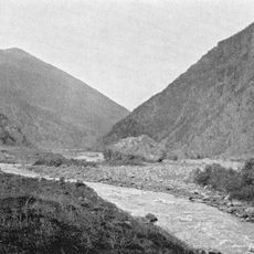
The glacier feeds the Genaldon, a right tributary of the Gizeldon in the Terek basin, and its meltwater is the water source for the valley below Tmenikau. Its Ossetian name is Mayli; Russian sources also call it Genal-Donsky. In the late 19th century the Kolka glacier still joined Mayli before separating.
The glacier's tongue ends at 2,350 m above sea level, and the ice is 50–130 m thick. The approach to the glacier is difficult, so plan for a demanding route. The glacier is in a stage of degradation, and its surface is clean, almost free of moraine formations.
In 1902 and 2002 the tongue of the Mayli glacier lay in the path of large ice-and-rock flows that descended from the Kolka glacier cirque. The 2002 event was a surge from Kolka, not a collapse of Mayli itself. The glacier's surface is notably clean, with almost no moraine cover.
The community of curious travelers
AroundUs brings together thousands of curated places, local tips, and hidden gems, enriched daily by 93,849 contributors worldwide.