Gergeti, Glacier in Mtskheta-Mtianeti, Georgia
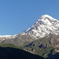
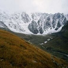
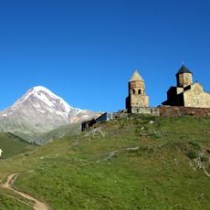
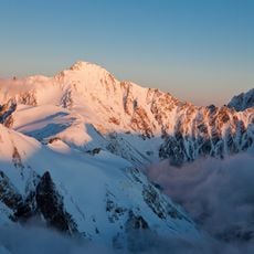
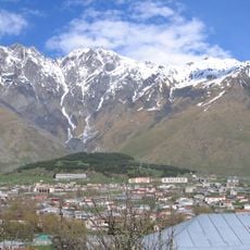
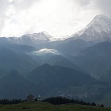
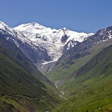
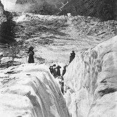
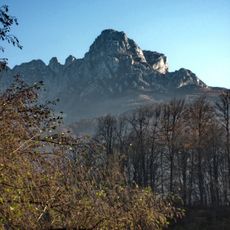
Gergeti is a valley glacier on the southeastern slope of Mount Kazbek in the Kazbegi municipality of Mtskheta-Mtianeti, Georgia. It is 7.1 km long and covers 11 km², with its tongue descending to 2,900 m above sea level. Most of the glacier lies within an old eroded volcanic caldera; its southern rim is bounded by Mount Ortsveri.
Gergeti lies mostly inside an old, eroded volcanic caldera whose northern rim carries the cone of Mount Kazbek, while its southern rim is bounded by Mount Ortsveri. The glacier feeds the Chkheri river, and a building of a former meteorological station stands on its left edge at 3,650 m. The Georgian Soviet Encyclopedia (1978) records its length as 7.1 km and area as 11 km².
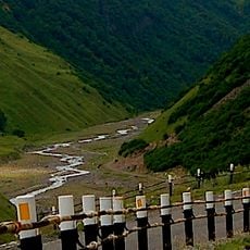
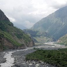
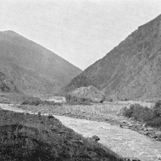
The glacier is also called Ortsveri, after Mount Ortsveri on the caldera's southern rim, where the ice descends. Its meltwater feeds the Chkheri river, and the Chkheri gorge below exposes lava flows of Kazbek, with andesite and banded taxitic lavas on the left bank.
A trek to reach this glacier requires specialized mountaineering gear and is only advisable during stable weather periods. Accessibility depends heavily on seasonal conditions and mountain weather patterns.
The building on the glacier's left edge at 3,650 m is the former meteorological station, not an active one. The glacier feeds the Chkheri River, and on the slopes of the Chkheri gorge above it you can see several of Kazbek's lava flows, including outcrops of andesite and banded taxitic lava.
The community of curious travelers
AroundUs brings together thousands of curated places, local tips, and hidden gems, enriched daily by 94,420 contributors worldwide.