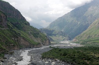
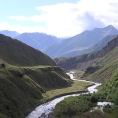
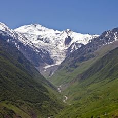
Darial Gorge, Canyon and border crossing between Georgia and Russia in Caucasus Mountains
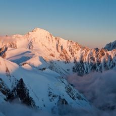
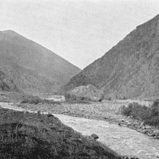
Darial Gorge is a deep canyon with sheer rock walls that cuts through the Caucasus Mountains between Georgia and Russia, carved by the Terek River over centuries. The narrow passage creates a natural corridor where steep granite faces rise sharply, forming a dramatic geological formation that has shaped the landscape between these two countries.
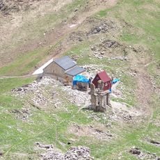
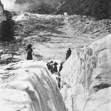
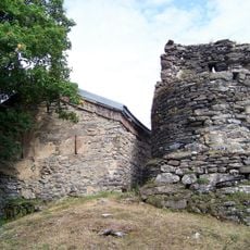
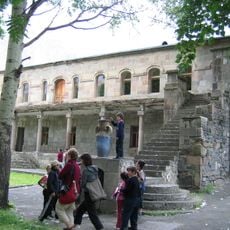
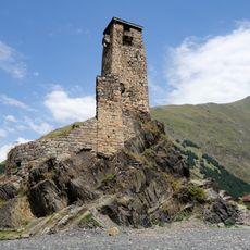
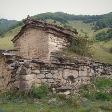
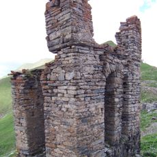
In ancient times, the gorge was fortified with walls and gates that controlled movement between the two regions as part of a defensive system. Over the centuries, this passage remained crucial for people traveling between the lowlands and the mountain communities on both sides.
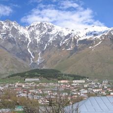
The gorge serves as a meeting point between two distinct regions and their ways of life, with the passage historically marking the boundary where different cultures and trade networks intersected. Local residents view this narrow passage as a defining feature of their landscape that shapes daily movement and connections across the mountains.
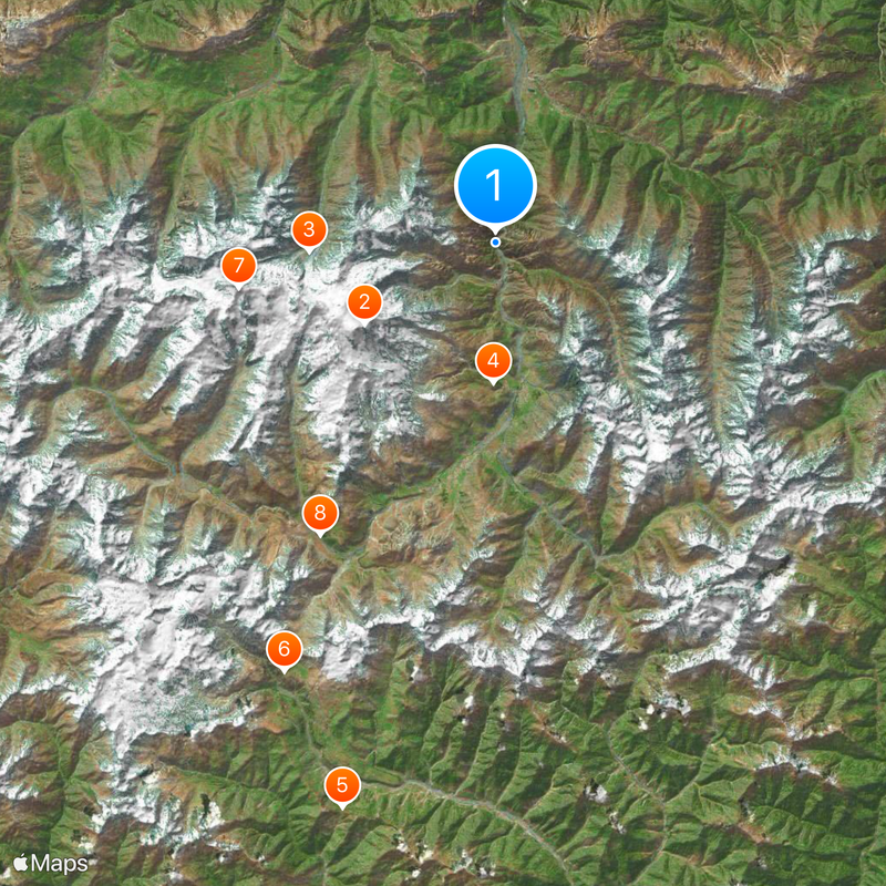
The most direct way to view the gorge is via the Georgian Military Highway, which connects Tbilisi to Stepantsminda with regular bus services throughout the day. Since this is a border area, it's important to have proper documentation and to respect the crossing regulations when traveling through.
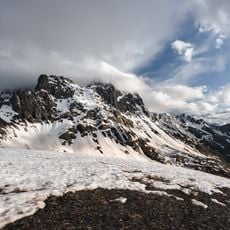
A distinctive granite formation called the Yermolovsky Stone was documented by scientists in the 1800s and remains a focal point for those interested in the geology of the region. This natural landmark reveals the layered history of how the mountains were built over time.
The community of curious travelers
AroundUs brings together thousands of curated places, local tips, and hidden gems, enriched daily by 60,000 contributors worldwide.