Ndiob, rural community of Senegal
Location: Fatick Department
Capital city: Ndiob
GPS coordinates: 14.54933,-16.25244
Latest update: March 11, 2025 01:32
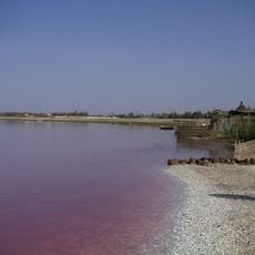
Lake Retba
110.5 km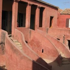
House of Slaves
124 km
Diamniadio Olympic Stadium
104.2 km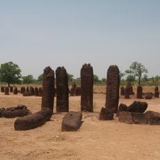
Senegambian stone circles
176.9 km
Great Mosque of Touba
54.5 km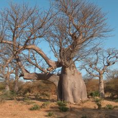
Bandia Nature Reserve
75.8 km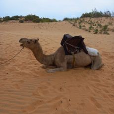
Lompoul desert
111.9 km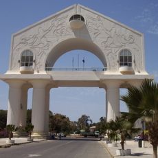
Arch 22
126.4 km
Keur Moussa abbey
97.3 km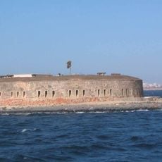
Historical Museum of Senegal
124.3 km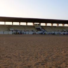
Stade Lat-Dior
78.4 km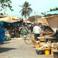
Albert Market
126.7 km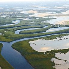
Saloum Delta
83.8 km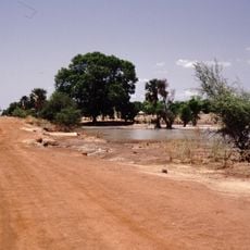
Bao Bolong Wetland Reserve
122.3 km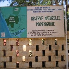
Réserve naturelle de Popenguine
90.3 km
L’Aire Marine Protégée du Bamboung
86 km
Musée régional de Thiès
78.3 km
Church of Saint Charles Borromee (Goree)
124.1 km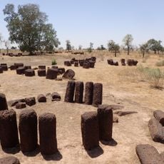
Stone circles Sine Ngayène
122.6 km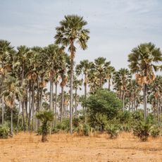
Samba Dia Biosphere Reserve
72.1 km
Musée de la Mer
124.3 km
Fort Bullen
122.5 km
Musée Régional de Thiès
78.3 km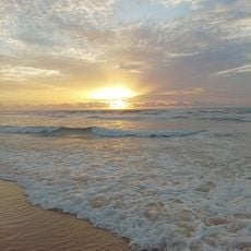
Malika Beach
120.5 km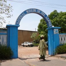
Musée national de Gambie
126.6 km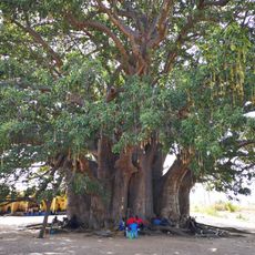
Baobab sacré de Fadial
70.4 km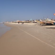
Mboro Plage
99.9 km
The Mosque of Goree
124.2 kmReviews
Visited this place? Tap the stars to rate it and share your experience / photos with the community! Try now! You can cancel it anytime.
Discover hidden gems everywhere you go!
From secret cafés to breathtaking viewpoints, skip the crowded tourist spots and find places that match your style. Our app makes it easy with voice search, smart filtering, route optimization, and insider tips from travelers worldwide. Download now for the complete mobile experience.

A unique approach to discovering new places❞
— Le Figaro
All the places worth exploring❞
— France Info
A tailor-made excursion in just a few clicks❞
— 20 Minutes