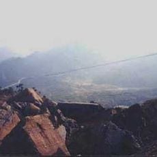
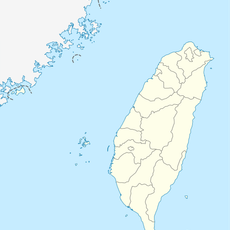
Puli Basins, Group of mountain basins in Nantou County, Taiwan.
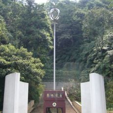
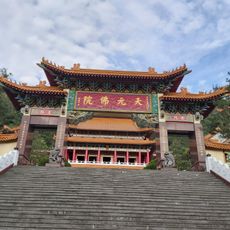
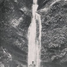
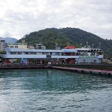
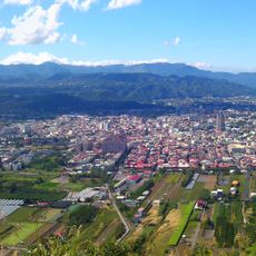
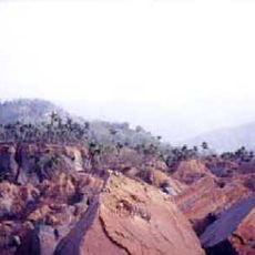
The Puli Basins form a group of lowland areas surrounded by mountains in central Taiwan, with several distinct valleys including Yuchih, Toushe, and Chungkui. The basins contain lakes, villages, and agricultural land spread across relatively flat terrain that contrasts sharply with the steep slopes around them.
These basins formed through tectonic movement and river erosion over millions of years as the Philippine and Eurasian plates collided. Multiple geological theories explain their depression between surrounding mountains, shaped by ongoing compression and water flow.
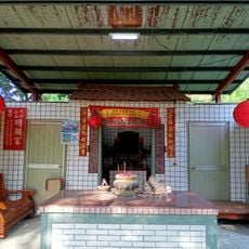
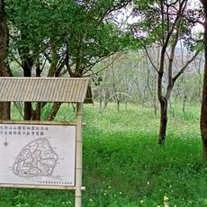
Rural villages in these basins maintain farming traditions that shape the land itself through terraced fields and irrigation systems. The way residents use the fertile soils connects them deeply to the seasons and crops that define daily life here.
A vehicle is helpful for exploring the area since roads connect the different basins and provide several entry points. Visit during dry weather when roads are clear and visibility of the surrounding mountains is best.
Beneath the surface of these basins lie layers of sediment that tell a story of how water and earth pressure continuously reshape the land. These hidden layers explain why some areas are particularly fertile and reveal the ongoing geological changes happening below what visitors see.
The community of curious travelers
AroundUs brings together thousands of curated places, local tips, and hidden gems, enriched daily by 60,000 contributors worldwide.