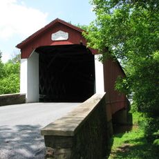
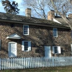
Upper Makefield Township, township in Bucks County, Pennsylvania
Location: Bucks County
Shares border with: Hopewell Township, Ewing Township, Lower Makefield Township, Newtown Township, Wrightstown Township, Buckingham Township, Solebury Township
GPS coordinates: 40.29194,-74.92417
Latest update: April 6, 2025 18:58
Washington's Crossing
4.8 km
Washington Crossing Historic Park
4.5 km
Washington Crossing State Park
5.6 km
Bowman's Hill Tower
4 km
Washington Crossing Bridge
4.8 km
Keith House
2 km
Washington Crossing National Cemetery
3.5 km
Bowman's Hill Wildflower Preserve
4.5 km
John and Alice Fullam House
4.2 km
London Purchase Farm
3.1 km
Van Sant Covered Bridge
4.8 km
Waldenmark
4.3 km
Thompson-Neely House
4.6 km
William Smith House
6.5 km
Hayhurst Farm
1.8 km
John Burroughs Homestead
2.2 km
Dolington Village Historic District
3.7 km
Brownsburg Village Historic District
3.1 km
Wrightstown Friends Meeting Complex
5.8 km
Penns Park Historic District
6.8 km
Penn's Park General Store Complex
7 km
Atkinson Road Bridge
6.1 km
Washington Crossing State Park
5.6 km
Makefield Meeting
4.3 km
Smith Family Farmstead
2.9 km
Buckmanville Historic District
5 km
McConkey's Ferry Inn
4.6 km
Nelson House
4.9 kmReviews
Visited this place? Tap the stars to rate it and share your experience / photos with the community! Try now! You can cancel it anytime.
Discover hidden gems everywhere you go!
From secret cafés to breathtaking viewpoints, skip the crowded tourist spots and find places that match your style. Our app makes it easy with voice search, smart filtering, route optimization, and insider tips from travelers worldwide. Download now for the complete mobile experience.
A unique approach to discovering new places❞
— Le Figaro
All the places worth exploring❞
— France Info
A tailor-made excursion in just a few clicks❞
— 20 Minutes