Enable Location

We need your location to show you interesting places around you

Discover nearby places

Find interesting locations and hidden gems around you

Precise directions

Get accurate directions and distances to places

Your location is never shared with other users. It's only used when you tap the location button.

Bucks County

Log in to your account

Start exploring — it's free

Trusted by 61,829 travelers worldwide

Continue with Google
Continue with Apple
or

We will send you a code to connect

By continuing, you accept our Terms and Conditions and our Privacy Policy

Check your inbox

We've sent a pincode in your inbox. Please enter the code below.

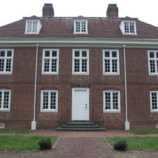
Bucks County, Administrative county in southeastern Pennsylvania, United States.

Description

Bucks County is an administrative unit in southeastern Pennsylvania in the United States. The territory stretches from the Delaware River to the Montgomery County border and combines suburban settlements with working farmland and wooded hills.

History

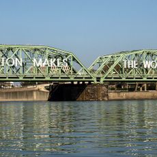
William Penn founded the administrative unit in 1682 as one of the first three counties in Pennsylvania and named it after the English county of Buckinghamshire. The location along the Delaware River made the territory an important trade and transport corridor during colonial times.

Culture

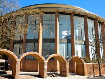
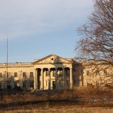
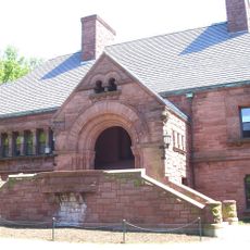
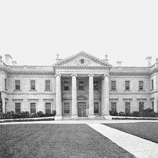
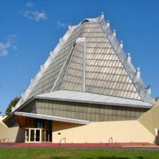
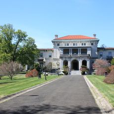
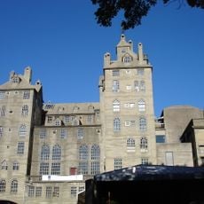
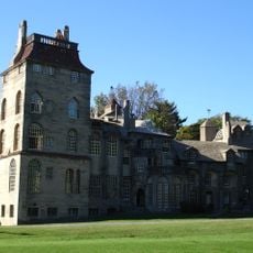
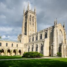
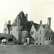
The historic county seat of Doylestown still reflects the influence of historian and archaeologist Henry Chapman Mercer, whose three concrete structures from the early 1900s shape the town center. Visitors also encounter a thriving theater scene and regional markets selling produce from surrounding farms.

Practical

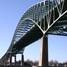
Many communities can be reached through local road networks, though visitors in rural areas will encounter narrow lanes and intersections without traffic lights. The twelve covered bridges remain open to motor traffic, but with limited vehicle width and reduced speed.

Did you know?

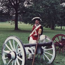
Washington Crossing Historic Park hosts a yearly reenactment of George Washington and his troops crossing the Delaware River on the night of December 25, 1776. Volunteers in period uniforms board wooden boats and navigate through ice floes on the river while thousands of spectators watch from the shore.

Location
Inception
1682
Capital city
Doylestown
Shares border with
Lehigh County, Northampton County, Warren County, Hunterdon County, Mercer County, Burlington County, Philadelphia County, Montgomery County
GPS coordinates
40.34000,-75.11000
Latest update
December 15, 2025 08:13

AroundUs brings together thousands of curated places, local tips, and hidden gems, enriched daily by 60,000 contributors worldwide. Discover all places nearby (Pennsylvania).

Around this place
Lynnewood Hall
United States of America

Lynnewood Hall

29.6 km
Lawrenceville School
United States of America

Lawrenceville School

32.6 km
Whitemarsh Hall
United States of America

Whitemarsh Hall

28.4 km
Sesame Place Philadelphia
United States of America

Sesame Place Philadelphia

26.6 km
Valley Forge National Historical Park
United States of America

Valley Forge National Historical Park

38.9 km
Vanna Venturi House
United States of America

Vanna Venturi House

31.1 km
United States of America

Abington Senior High School

25.4 km
Grey Towers Castle
United States of America

Grey Towers Castle

28.1 km
Beth Sholom Congregation
United States of America

Beth Sholom Congregation

28.7 km
Lower Trenton Bridge
United States of America

Lower Trenton Bridge

32.4 km
United States of America

Langhorne Speedway

26.3 km
New Jersey State House
United States of America

New Jersey State House

31.8 km
Highfields
United States of America

Highfields

30.5 km
Delaware River – Turnpike Toll Bridge
United States of America

Delaware River – Turnpike Toll Bridge

34.4 km
United States of America

Trenton Speedway

34.9 km
Elkins Estate
United States of America

Elkins Estate

29.8 km
Mercer Museum
United States of America

Mercer Museum

3.9 km
Fonthill
United States of America

Fonthill

2.4 km
Esherick House
United States of America

Esherick House

30.9 km
Washington's Crossing
United States of America

Washington's Crossing

21 km
Sun National Bank Center
United States of America

Sun National Bank Center

33.1 km
Fisher House
United States of America

Fisher House

19.3 km
Pennsbury Manor
United States of America

Pennsbury Manor

37.1 km
Bryn Athyn Cathedral
United States of America

Bryn Athyn Cathedral

23.2 km
Willow Grove Park
United States of America

Willow Grove Park

22.4 km
Washington Crossing Historic Park
United States of America

Washington Crossing Historic Park

20.4 km
Woodmont
United States of America

Woodmont

34.1 km
Moravian Pottery and Tile Works
United States of America

Moravian Pottery and Tile Works

2.2 km
Show the full map
« Bucks County - Administrative county in southeastern Pennsylvania, United States » is provided by Around Us (aroundus.com). Images and texts are derived from Wikimedia project under a Creative Commons license. You are allowed to copy, distribute, and modify copies of this page, under the conditions set by the license, as long as this note is clearly visible.

Discover hidden gems everywhere you go!

From secret cafés to breathtaking viewpoints, skip the crowded tourist spots and find places that match your style. Our app makes it easy with voice search, smart filtering, route optimization, and insider tips from travelers worldwide. Download now for the complete mobile experience.

Around Us App Screenshot

A unique approach to discovering new places

Le Figaro

All the places worth exploring

France Info

A tailor-made excursion in just a few clicks

20 Minutes

Around Us
Travel Guide & Maps
Download

Send to your phone

QR Code
1

Open the camera app on your mobile.

2

Point at the QR code with your camera. A notification will appear.

3

Tap the notification to open the link.