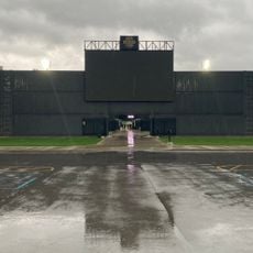
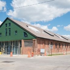
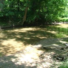
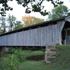
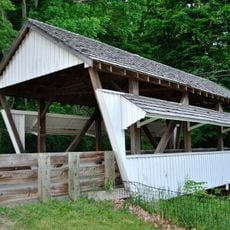
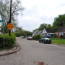
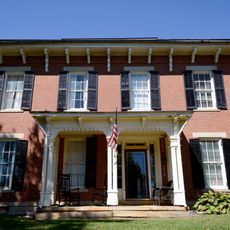
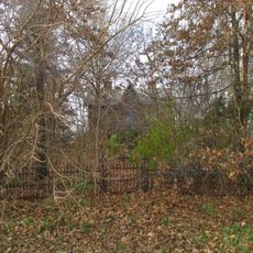
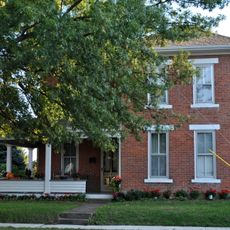
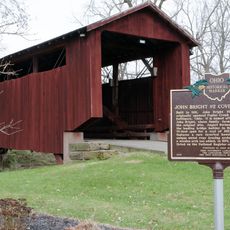
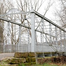
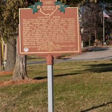
Canal Winchester, town near Columbus, Ohio
Location: Fairfield County
Location: Franklin County
Inception: 1828
Elevation above the sea: 233 m
Website: http://canalwinchesterohio.gov
GPS coordinates: 39.84610,-82.81170
Latest update: April 5, 2025 03:51
Franklin Park Conservatory
18 km
Motorcycle Hall of Fame
10.1 km
Ohio Governor's Mansion
18.2 km
World Harvest Church
5.2 km
Fortress Obetz
12.4 km
Otherworld
8.7 km
Trolley District
18 km
Captain Edward V. Rickenbacker House
17.3 km
Blacklick Creek
15.3 km
Farm Crest Bakeries building
16.4 km
Bergstresser/Dietz Covered Bridge
1.8 km
Slate Run Metro Park
10.1 km
Groveport United Methodist Church
6.4 km
Rock Mill Covered Bridge
13.7 km
David's Reformed Church
557 m
Frederick A. Miller House
17.5 km
Hanford Village George Washington Carver Addition Historic District
16.3 km
Hizey Covered Bridge
11.6 km
Lyman Allen House and Barn
16.7 km
Perrill-Goodman Farmhouse
8.8 km
Samuel Landes House
17.7 km
Arendt–Seymour House
610 m
Blacklick Woods Nature Center
9.8 km
Drexel Theatre
16.5 km
John Bright Covered Bridge
12 km
John Bright No. 1 Iron Bridge
11.9 km
Livingston House
11.4 km
Bexley Public Library
16.2 kmVisited this place? Tap the stars to rate it and share your experience / photos with the community! Try now! You can cancel it anytime.
Discover hidden gems everywhere you go!
From secret cafés to breathtaking viewpoints, skip the crowded tourist spots and find places that match your style. Our app makes it easy with voice search, smart filtering, route optimization, and insider tips from travelers worldwide. Download now for the complete mobile experience.
A unique approach to discovering new places❞
— Le Figaro
All the places worth exploring❞
— France Info
A tailor-made excursion in just a few clicks❞
— 20 Minutes