
Madrid, unincorporated community in Maine
Location: Franklin County
Inception: 1836
Elevation above the sea: 355 m
GPS coordinates: 44.86444,-70.46194
Latest update: March 16, 2025 20:21
Orgonon
24.1 km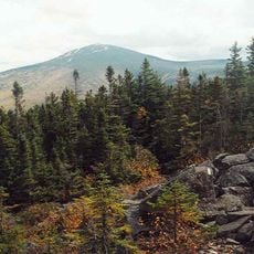
Sugarloaf Mountain
22 km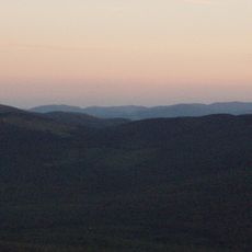
Tumbledown Mountain
14.5 km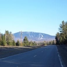
Saddleback Mountain
8.7 km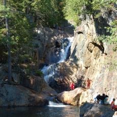
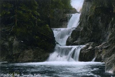
Smalls Falls
4.4 km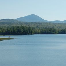
Mount Blue
17.9 km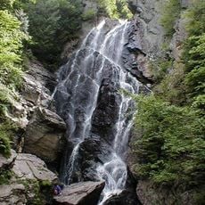
Angel Falls
21.6 km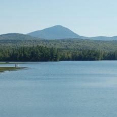
Mount Blue State Park
15.8 km
Crocker Mountain
21.3 km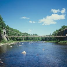
New Portland Wire Bridge
29.2 km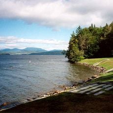
Rangeley Lake State Park
20.4 km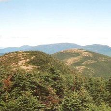
Saddleback Horn
9.9 km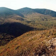
South Crocker Mountain
20.3 km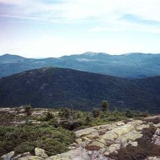
Saddleback Junior
10.4 km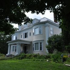
Amos G. Winter House
26 km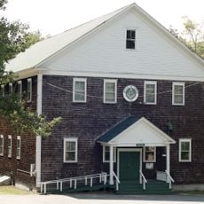
Weld Town Hall
18.9 km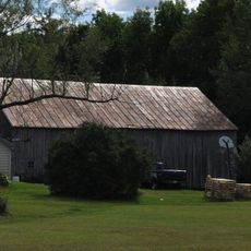
Barn on Lot 8, Range G
19.4 km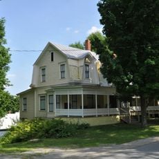
Frank Hutchins House
25.3 km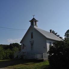
Madrid Village Schoolhouse
54 m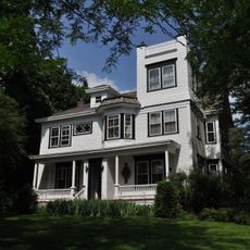
William F. Norton House
26.7 km
Capt. Joel Whitney House
10.7 km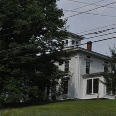
Porter-Bell-Brackley Estate
20.2 km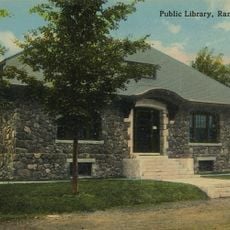
Rangeley Public Library
18.2 km
Upper Dallas School
15.8 km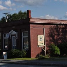
Rangeley Trust Company Building
18 km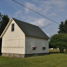
Coplin Plantation Schoolhouse
25.5 km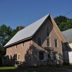
Maine Woods Office
10 km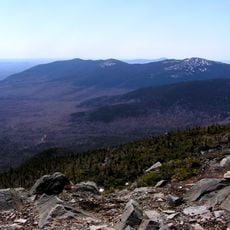
Mount Abraham
16.1 kmVisited this place? Tap the stars to rate it and share your experience / photos with the community! Try now! You can cancel it anytime.
Discover hidden gems everywhere you go!
From secret cafés to breathtaking viewpoints, skip the crowded tourist spots and find places that match your style. Our app makes it easy with voice search, smart filtering, route optimization, and insider tips from travelers worldwide. Download now for the complete mobile experience.

A unique approach to discovering new places❞
— Le Figaro
All the places worth exploring❞
— France Info
A tailor-made excursion in just a few clicks❞
— 20 Minutes