
Rostraver Township, township in Westmoreland County, Pennsylvania
Location: Westmoreland County
Website: https://rostraver.us
GPS coordinates: 40.17083,-79.79972
Latest update: March 19, 2025 01:49
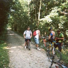
Youghiogheny River Trail
3.6 km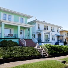
Cement City Historic District
5.6 km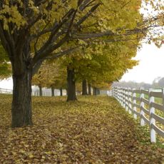
Round Hill Park
9.1 km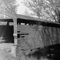
Bells Mills Covered Bridge
9.3 km
Providence Quaker Cemetery and Chapel
11 km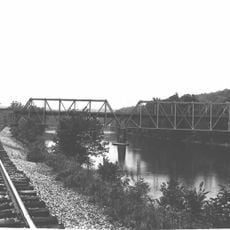
Layton Bridge
10.8 km
Donora-Monessen Bridge
5.3 km
Donora-Webster Bridge
4.7 km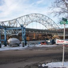
Belle Vernon Bridge
8.3 km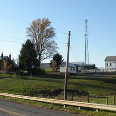
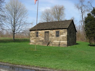
Van Kirk Farm
9.4 km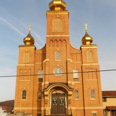
St. Nicholas Byzantine Catholic Church
10.7 km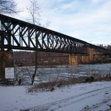
Speers Railroad Bridge
8.3 km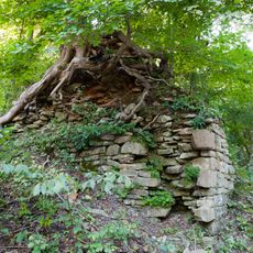
Alliance Furnace
9.5 km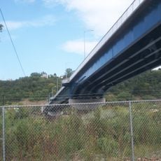
Charleroi-Monessen Bridge
9.1 km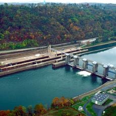
Charleroi Locks & Dam
9 km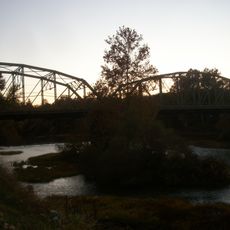
West Newton Bridge
5.2 km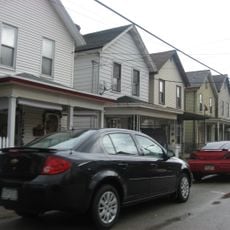
Charleroi Historic District
9.3 km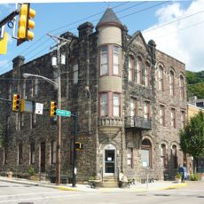
Dick Building
5.2 km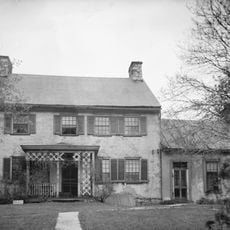
Col. Edward Cook House
5.4 km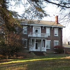
Hutchinson Farm (Elizabeth, Pennsylvania)
9.5 km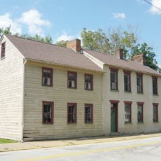
Plumer House
5 km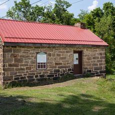
Searight's Fulling Mill
10.8 km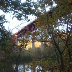
Matthew Smelser Memorial Bridge
3.6 km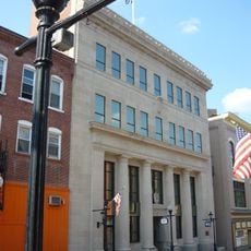
First National Bank of Charleroi
9.1 km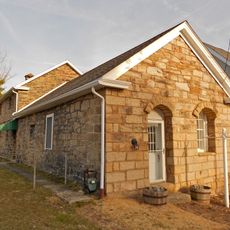
Youghiogheny Bank of Pennsylvania
10.3 km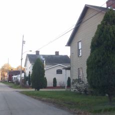
Whitsett Historic District
7.6 km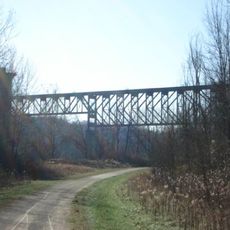
Banning Railroad Bridge
6.8 km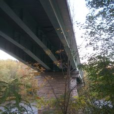
Smithton Low-Level Bridge
4.9 kmReviews
Visited this place? Tap the stars to rate it and share your experience / photos with the community! Try now! You can cancel it anytime.
Discover hidden gems everywhere you go!
From secret cafés to breathtaking viewpoints, skip the crowded tourist spots and find places that match your style. Our app makes it easy with voice search, smart filtering, route optimization, and insider tips from travelers worldwide. Download now for the complete mobile experience.

A unique approach to discovering new places❞
— Le Figaro
All the places worth exploring❞
— France Info
A tailor-made excursion in just a few clicks❞
— 20 Minutes