Enable Location

We need your location to show you interesting places around you

Discover nearby places

Find interesting locations and hidden gems around you

Precise directions

Get accurate directions and distances to places

Your location is never shared with other users. It's only used when you tap the location button.

Log in to your account

Start exploring — it's free

Trusted by 62,462 travelers worldwide

Continue with Google
Continue with Apple
or

We will send you a code to connect

By continuing, you accept our Terms and Conditions and our Privacy Policy

Check your inbox

We've sent a pincode in your inbox. Please enter the code below.

Sixteen Mile District, historic district in New York, United States

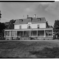
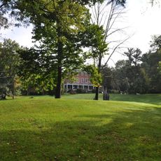
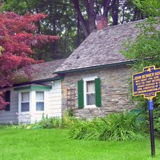
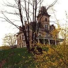
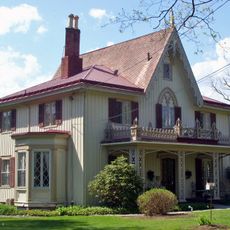
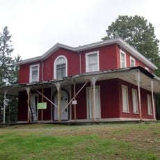
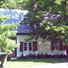
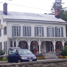
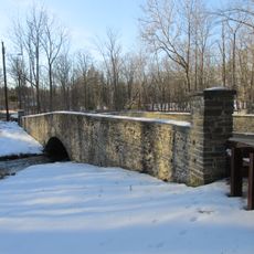
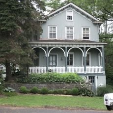
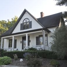
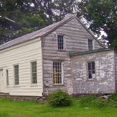
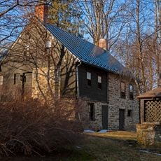
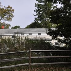
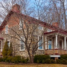
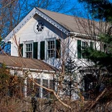
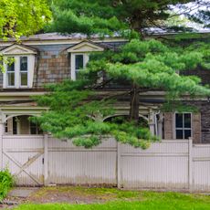
The Sixteen Mile District is a large collection of historic homes and estates along the east side of the Hudson River, extending through four towns. The land contains about 30 notable estates with distinctive features such as tall porticoes, gabled roofs, and structures built from stone or brick, scattered among open lawns and meadows.

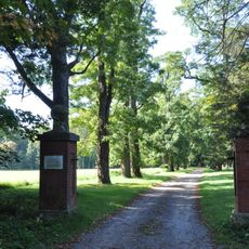
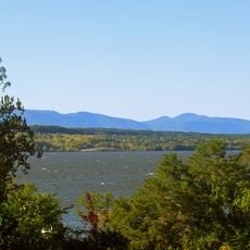
The area was chosen by wealthy families beginning in the 18th century as a location for their estates, valued for its peaceful setting and river views. It was officially added to the National Register of Historic Places in 1979, and in 1990 it was merged with the Clermont Estates Historic District to become part of the larger Hudson River Historic District.

The district's name references its distance from an original surveying point, and this geographic designation has persisted to the present day. The estates and homes show how wealthy families positioned their residences along the river and shaped the landscape around them, with open lawns, gardens, and meadows central to their way of life.

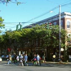
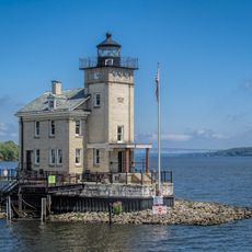
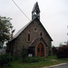
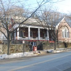
Many of the estates in this area are private property today, so it is important to be respectful when visiting the grounds. The river villages like Rhinecliff, Barrytown, and Tivoli are easily accessible and provide opportunities to explore the architecture and river landscape from public roads.

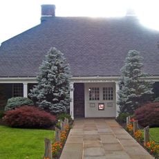
The Ferncliff estate contains a tennis court pavilion called a 'casino' designed by renowned architect Stanford White, which distinguishes itself from typical tennis facilities. Some of the estates are now part of the Bard College campus, showing how historic buildings have been integrated into new purposes.

The community of curious travelers

AroundUs brings together thousands of curated places, local tips, and hidden gems, enriched daily by 60,000 contributors worldwide.

Start exploring
Location
GPS coordinates
41.95333,-73.92472
Latest update
February 9, 2026 07:42
Around this place
Rokeby
United States of America

Rokeby

3.8 km
Kingston–Rhinecliff Bridge
United States of America

Kingston–Rhinecliff Bridge

3.2 km
The Grove
United States of America

The Grove

4.2 km
Rhinebeck Village Historic District
United States of America

Rhinebeck Village Historic District

3.1 km
Benner House
United States of America

Benner House

3.9 km
Grasmere
United States of America

Grasmere

4.6 km
Rondout Light
United States of America

Rondout Light

4.8 km
United States Post Office
United States of America

United States Post Office

3.1 km
Cordts Mansion
United States of America

Cordts Mansion

4.8 km
Henry Delamater House
United States of America

Henry Delamater House

2.9 km
Evangelical Lutheran Church of St. Peter
United States of America

Evangelical Lutheran Church of St. Peter

3.3 km
St. Margaret's Home
United States of America

St. Margaret's Home

4.6 km
Benjamin Ten Broeck House
United States of America

Benjamin Ten Broeck House

4.5 km
The Maples
United States of America

The Maples

2.1 km
Riverside Methodist Church and Parsonage
United States of America

Riverside Methodist Church and Parsonage

4.3 km
Pilgrim's Progress Road Bridge
United States of America

Pilgrim's Progress Road Bridge

4.1 km
Salisbury Turnpike Bridge
United States of America

Salisbury Turnpike Bridge

4 km
Morton Memorial Library
United States of America

Morton Memorial Library

4.4 km
Heermance House and Law Office
United States of America

Heermance House and Law Office

3.2 km
Free Church Parsonage
United States of America

Free Church Parsonage

4.6 km
Neher–Elseffer House
United States of America

Neher–Elseffer House

2.8 km
Traver House
United States of America

Traver House

2.6 km
Van Vredenburg Farm
United States of America

Van Vredenburg Farm

3.9 km
Cox Farmhouse
United States of America

Cox Farmhouse

1.4 km
Sipperly-Lown Farmhouse
United States of America

Sipperly-Lown Farmhouse

3.5 km
Kip-Beekman-Heermance Site
United States of America

Kip-Beekman-Heermance Site

3.5 km
Hudson River Historic District
United States of America

Hudson River Historic District

3.8 km
Jan Pier House
United States of America

Jan Pier House

3.4 km
Show the full map
« Sixteen Mile District - historic district in New York, United States » is provided by Around Us (aroundus.com). Images and texts are derived from Wikimedia project under a Creative Commons license. You are allowed to copy, distribute, and modify copies of this page, under the conditions set by the license, as long as this note is clearly visible.

Discover hidden gems everywhere you go!

From secret cafés to breathtaking viewpoints, skip the crowded tourist spots and find places that match your style. Our app makes it easy with voice search, smart filtering, route optimization, and insider tips from travelers worldwide. Download now for the complete mobile experience.

Around Us App Screenshot

A unique approach to discovering new places

Le Figaro

All the places worth exploring

France Info

A tailor-made excursion in just a few clicks

20 Minutes

Around Us
Travel Guide & Maps
Download

Send to your phone

QR Code
1

Open the camera app on your mobile.

2

Point at the QR code with your camera. A notification will appear.

3

Tap the notification to open the link.