Enable Location

We need your location to show you interesting places around you

Discover nearby places

Find interesting locations and hidden gems around you

Precise directions

Get accurate directions and distances to places

Your location is never shared with other users. It's only used when you tap the location button.

Log in to your account

Start exploring — it's free

Trusted by 61,982 travelers worldwide

Continue with Google
Continue with Apple
or

We will send you a code to connect

By continuing, you accept our Terms and Conditions and our Privacy Policy

Check your inbox

We've sent a pincode in your inbox. Please enter the code below.

Spade Ranch, Historic ranch in Cherry County, Nebraska.

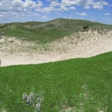
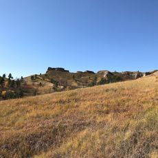
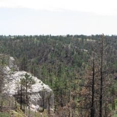
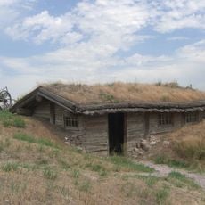
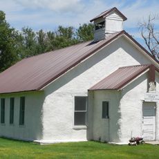
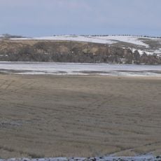
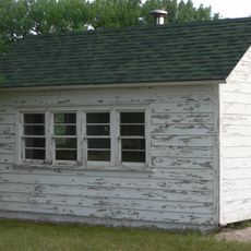
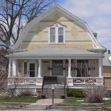
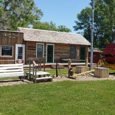
Spade Ranch is a cattle operation spread across the western Nebraska Sandhills between the towns of Gordon and Ellsworth. The property contains multiple buildings, corrals, and extensive grazing land that support ongoing ranching work.

The property was established in 1888 and grew under Bartlett Richards and William Comstock into one of the region's largest operations. Operations experienced major changes in the 1920s when new managers took over and modernized the business.

The ranch's name comes from its cattle brand, which resembles the Ace of Spades playing card and still marks the livestock today. This brand is a recognizable sign of identity that has connected generations of workers and owners.

Visitors should bring warm clothing and sturdy shoes since the land is open and windy. Spring through fall offers the best time to explore, when the grazing land is green and the ranch shows active operations.

At the peak of its expansion, the operation ran approximately 60,000 cattle across around 500,000 acres, making it one of the largest private livestock operations of the early century. This enormous scale is difficult to imagine today across the Sandhills landscape.

The community of curious travelers

AroundUs brings together thousands of curated places, local tips, and hidden gems, enriched daily by 60,000 contributors worldwide.

Start exploring
Location
GPS coordinates
42.30547,-102.09050
Latest update
December 8, 2025 19:56
Around this place
Nebraska Sand Hills Mixed Grasslands
United States of America

Nebraska Sand Hills Mixed Grasslands

21.2 km
Carhenge
United States of America

Carhenge

65.8 km
Wounded Knee National Historic Landmark
United States of America

Wounded Knee National Historic Landmark

95.8 km
Chadron State Park
United States of America

Chadron State Park

88.4 km
Pine Ridge National Recreation Area
United States of America

Pine Ridge National Recreation Area

92.5 km
Bordeaux Trading Post
United States of America

Bordeaux Trading Post

89.4 km
United States of America

Crescent Lake National Wildlife Refuge

67.6 km
Pilgrim Holiness Church
United States of America

Pilgrim Holiness Church

88.3 km
Camp Sheridan
United States of America

Camp Sheridan

81.1 km
First Arthur County Courthouse and Jail
United States of America

First Arthur County Courthouse and Jail

88.3 km
Mari Sandoz High Plains Heritage Center
United States of America

Mari Sandoz High Plains Heritage Center

94.2 km
City of Alliance Central Park Fountain
United States of America

City of Alliance Central Park Fountain

68 km
Rackett Grange Hall No. 318
United States of America

Rackett Grange Hall No. 318

72 km
Box Butte County Courthouse
United States of America

Box Butte County Courthouse

68.2 km
Chadron Commercial Historic District
United States of America

Chadron Commercial Historic District

94.8 km
Plains Theatre
United States of America

Plains Theatre

55.1 km
Crites Hall
United States of America

Crites Hall

94 km
Hooker County Courthouse
United States of America

Hooker County Courthouse

91.1 km
Sheridan County Courthouse
United States of America

Sheridan County Courthouse

55 km
Sparks Hall
United States of America

Sparks Hall

94 km
Chadron Public Library
United States of America

Chadron Public Library

94.4 km
District No. 119 North School
United States of America

District No. 119 North School

31.6 km
Edna Work Hall
United States of America

Edna Work Hall

94.2 km
Lee and Gottliebe Fritz House
United States of America

Lee and Gottliebe Fritz House

56.3 km
Wounded Knee cemetery
United States of America

Wounded Knee cemetery

95.9 km
Museum of the Fur Trade
United States of America

Museum of the Fur Trade

89.7 km
Alliance Knight Museum
United States of America

Alliance Knight Museum

67.9 km
Dobby's Frontier Town
United States of America

Dobby's Frontier Town

67.4 km
Show the full map
« Spade Ranch - Historic ranch in Cherry County, Nebraska » is provided by Around Us (aroundus.com). Images and texts are derived from Wikimedia project under a Creative Commons license. You are allowed to copy, distribute, and modify copies of this page, under the conditions set by the license, as long as this note is clearly visible.

Discover hidden gems everywhere you go!

From secret cafés to breathtaking viewpoints, skip the crowded tourist spots and find places that match your style. Our app makes it easy with voice search, smart filtering, route optimization, and insider tips from travelers worldwide. Download now for the complete mobile experience.

Around Us App Screenshot

A unique approach to discovering new places

Le Figaro

All the places worth exploring

France Info

A tailor-made excursion in just a few clicks

20 Minutes

Around Us
Travel Guide & Maps
Download

Send to your phone

QR Code
1

Open the camera app on your mobile.

2

Point at the QR code with your camera. A notification will appear.

3

Tap the notification to open the link.