
American Bottom
24.1 km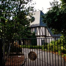
Mahonia Hall
26.4 km
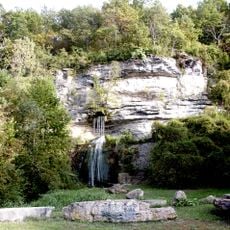
Cascade Head
19.9 km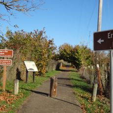
Erratic Rock State Natural Site
26.1 km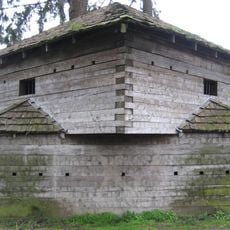
Fort Yamhill
22.5 km
Sarah Helmick State Recreation Site
18.8 km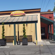
Best Little Roadhouse
26.9 km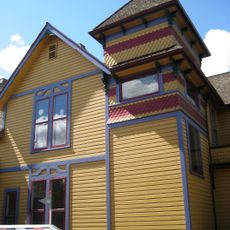
Gilbert House Children's Museum
27.3 km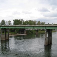
Marion Street Bridge
27.2 km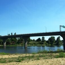
Center Street Bridge
27.2 km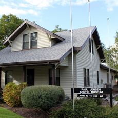
Jensen Arctic Museum
13.3 km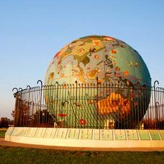
Eco-Earth Globe
27 km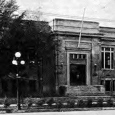
Salem Public Library
27.1 km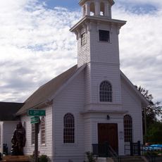
Saint Patrick's Roman Catholic Church
17.2 km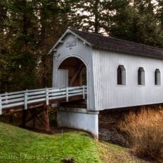
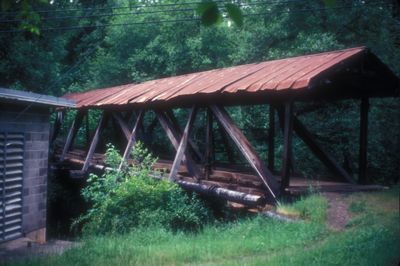
Ritner Creek Bridge
21.3 km
John Phillips House
24 km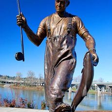
Tom McCall Memorial
27.2 km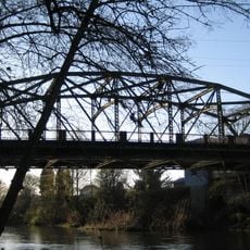
Sheridan Bridge
20.5 km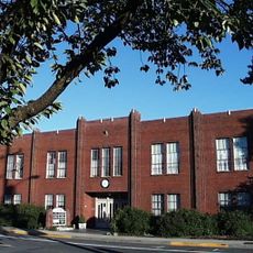
Old West Salem City Hall
25.8 km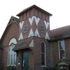
Independence Historic District
17 km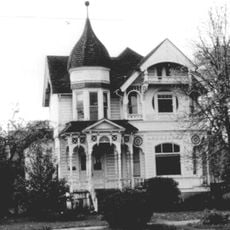
Riley–Cutler House
17 km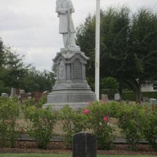
Daughters of Union Veterans Civil War Memorial
26.2 km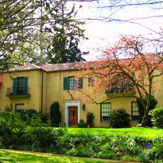
Curtis Cross House
26.6 km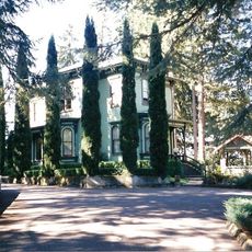
Port–Manning House
20.3 km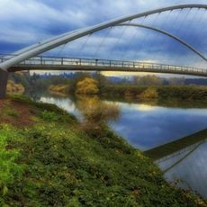
Peter Courtney Minto Island Bridge
26.9 km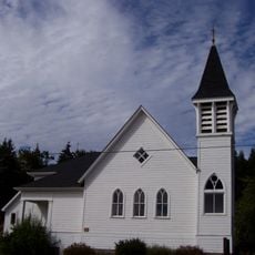
Beulah Methodist Episcopal Church
6.5 km
Edward W. St. Pierre House
24.1 km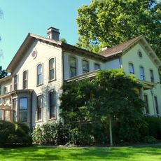
Asahel Bush House
27.3 kmReviews
Visited this place? Tap the stars to rate it and share your experience / photos with the community! Try now! You can cancel it anytime.
Discover hidden gems everywhere you go!
From secret cafés to breathtaking viewpoints, skip the crowded tourist spots and find places that match your style. Our app makes it easy with voice search, smart filtering, route optimization, and insider tips from travelers worldwide. Download now for the complete mobile experience.

A unique approach to discovering new places❞
— Le Figaro
All the places worth exploring❞
— France Info
A tailor-made excursion in just a few clicks❞
— 20 Minutes