
Sheridan Bridge, bridge in Sheridan, Oregon
Location: Oregon
Inception: 1939
Official opening: 1939
GPS coordinates: 45.09891,-123.39543
Latest update: March 3, 2025 02:29

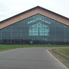
Evergreen Aviation & Space Museum
23 km
Cascade Head
17.6 km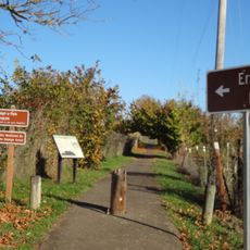
Erratic Rock State Natural Site
9.3 km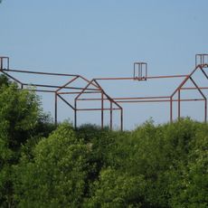
Willamette Mission State Park
27.3 km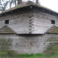
Fort Yamhill
14.1 km
Bethel Heights Vineyard
20.3 km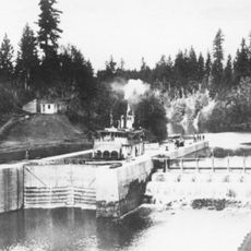
Yamhill River lock and dam
27.2 km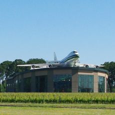
Evergreen Wings and Waves Waterpark
22.5 km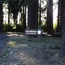
Maud Williamson State Recreation Site
25.8 km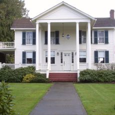
Palmer House
28.2 km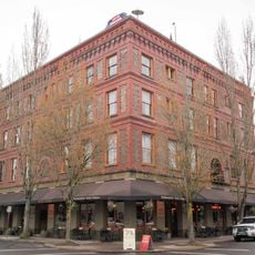
Hotel Oregon
20.1 km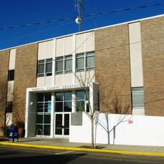
Yamhill County Courthouse
20.3 km
John Phillips House
22.6 km
Pioneer Hall
19.2 km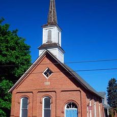
First Baptist Church
28.6 km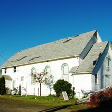
Free Methodist Church
28.3 km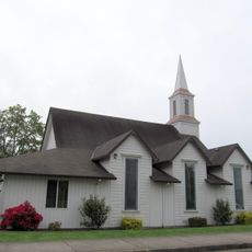
Evangelical United Brethren Church
28.4 km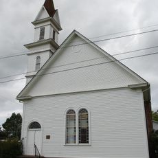
Evangelical Church of Lafayette
27.7 km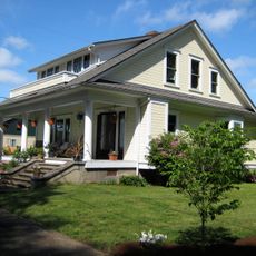
Paul Londershausen House
28.6 km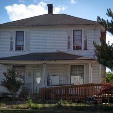
John T. Hash House
28.3 km
McMinnville Downtown Historic District
20 km
Baxter House
28.4 km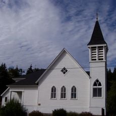
Beulah Methodist Episcopal Church
26 km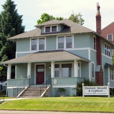
Methodist Episcopal Parsonage
28.5 km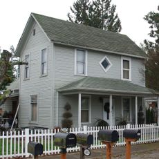
Gottlieb Londershausen House
28.5 km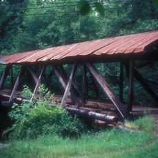
Pumping Station Bridge
20.5 km
Mack Theater
20.1 km
Ebenezer Chapel, Dayton, Oregon
23.7 kmReviews
Visited this place? Tap the stars to rate it and share your experience / photos with the community! Try now! You can cancel it anytime.
Discover hidden gems everywhere you go!
From secret cafés to breathtaking viewpoints, skip the crowded tourist spots and find places that match your style. Our app makes it easy with voice search, smart filtering, route optimization, and insider tips from travelers worldwide. Download now for the complete mobile experience.

A unique approach to discovering new places❞
— Le Figaro
All the places worth exploring❞
— France Info
A tailor-made excursion in just a few clicks❞
— 20 Minutes