Culpeper Basin, Sedimentary rock formation in Northern Virginia, United States.
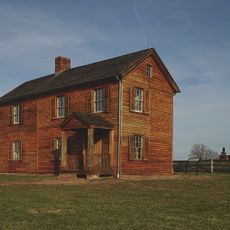
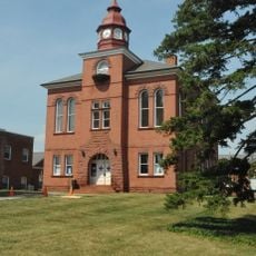
The Culpeper Basin is a sedimentary rock formation in Northern Virginia that extends from Madison County to Frederick, Maryland. It contains layers of siltstone, sandstone, and conglomerate with diabase intrusions, and the reddish-brown sandstone was historically quarried for major buildings like the Smithsonian Institution Castle.
The basin formed approximately 250 million years ago during the breakup of Pangea when Africa and North America separated. This continental separation created the Atlantic Ocean and left behind the distinctive rock patterns found in eastern North America.
The geological features of the Culpeper Basin provide essential research opportunities for scientists studying the Triassic period and early dinosaur habitats.
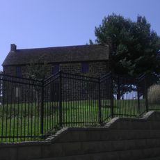
The formation is accessible through several quarries scattered throughout the region where rock types are clearly visible. The best time to explore is during drier months when visits to exposed rock faces are safer and more comfortable.
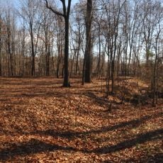
The Boyds Sill, a large diabase formation within the basin, creates distinctive geological patterns visible in rock faces northeast of Dulles Airport. This diabase intrusion is particularly valuable for understanding magmatic activity during continental rifting.
The community of curious travelers
AroundUs brings together thousands of curated places, local tips, and hidden gems, enriched daily by 60,000 contributors worldwide.