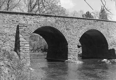
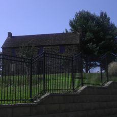
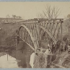
Stone Bridge, Deck arch bridge in Manassas National Battlefield Park, United States.
Stone Bridge is a red sandstone deck arch bridge that crosses Bull Run at the eastern entrance of Manassas National Battlefield Park in Prince William County, Virginia. The roadway sits on top of the arch, which is built from fitted blocks of local stone.
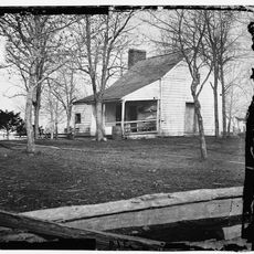
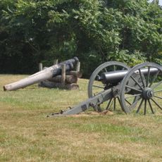
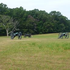
The first version of the bridge was built in 1825 and blown up in 1862 by Confederate forces during their retreat, as the crossing was seen as a strategic obstacle. It was rebuilt in 1884 using the same arch method and the same type of stone.
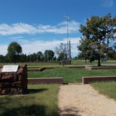
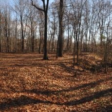
The bridge stands at the entrance to one of the most visited Civil War sites on the East Coast, and many people stop here before walking the battlefield trails. From the bridge, you can look out over Bull Run and the surrounding hills that saw heavy fighting during two major battles.
The bridge is easy to reach from the main park entrance, which sits close to U.S. Route 29 (Virginia Route 234). Going early in the day gives you a clearer view of the stone and the river without crowds.
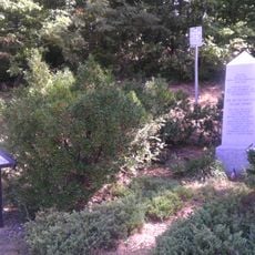
Two soldiers scratched their names into the sandstone while they were stationed nearby during the Civil War, and those marks are still visible on the stone today. It is one of the few cases where personal traces from that period have survived on the structure itself.
The community of curious travelers
AroundUs brings together thousands of curated places, local tips, and hidden gems, enriched daily by 60,000 contributors worldwide.