Mooseup Valley Historic District, park in Providence County, Rhode Island, United States of America
Location: Providence County
GPS coordinates: 41.73611,-71.75306
Latest update: November 24, 2025 03:42

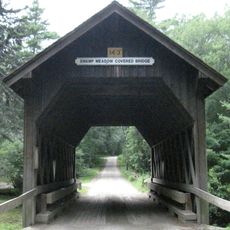
Swamp Meadow Bridge
7.3 km
Rice City Historic District
3 km
Sterling Hill Historic District
9.5 km
Ross Pond State Park
10.1 km
Isaac Bowen House
5 km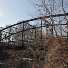
Glen Falls Bridge
9.2 km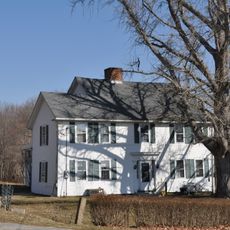
Dorrance Inn
9.3 km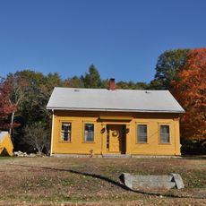
Clayville Historic District
7.8 km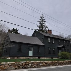
Mount Vernon Tavern
3.3 km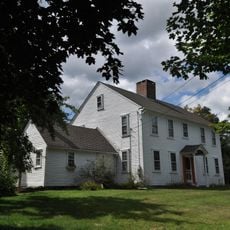
William Waterman House
5.9 km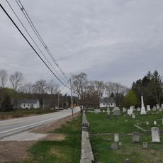
Moosup Valley Historic District
543 m
Capt. George Dorrance House
2.8 km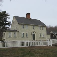
Wilson-Winslow House
8.3 km
Quidnick Reservoir
8.8 km
Half Hill Rock
9.7 km
Barden Reservoir
8.7 km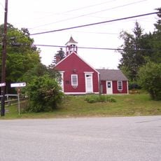
Foster Center Historic District
6.1 km
Carbuncle Hill observatory
3.3 km
Carbuncle Hill Observatory
5.9 km
Sterling Hill Historic District
9.3 km
Clark Pond
4.5 km
Foster Country Club
1.8 km
Crazy Corners
10.2 km
Moosup Pond Beach
9.4 km
River's Edge Campground
6.9 km
Sun Ridge Resort
3.8 km
Ponogansett Falls
9.1 km
Spencer Rock Waterfall
4.3 kmReviews
Visited this place? Tap the stars to rate it and share your experience / photos with the community! Try now! You can cancel it anytime.
Discover hidden gems everywhere you go!
From secret cafés to breathtaking viewpoints, skip the crowded tourist spots and find places that match your style. Our app makes it easy with voice search, smart filtering, route optimization, and insider tips from travelers worldwide. Download now for the complete mobile experience.

A unique approach to discovering new places❞
— Le Figaro
All the places worth exploring❞
— France Info
A tailor-made excursion in just a few clicks❞
— 20 Minutes