Walker Mountain Cluster, Mountain and hiking trails network in Giles County, Virginia.
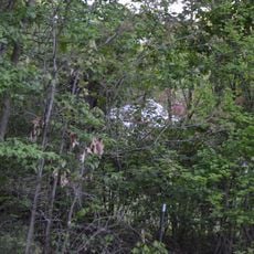
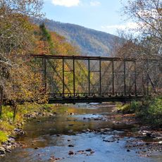
Walker Mountain Cluster is a hiking trail network spanning Jefferson National Forest in Giles County with diverse woodlands and multiple marked pathways. The interconnected routes wind through several mountain ridges and reach elevations over 3600 feet, offering varied terrain and forest types for different skill levels.
The region became integrated into Jefferson National Forest protections, securing natural corridors and ancient rock formations from development. This preservation allowed mountain communities to maintain their long-standing outdoor recreation traditions through the years.
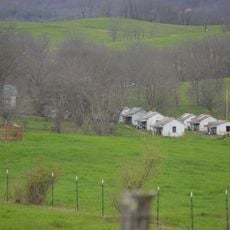
The network of trails connects multiple communities, enabling local residents and visitors to participate in outdoor activities while maintaining traditional mountain recreation practices.
Multiple trailheads provide access points around Giles County with designated parking areas at most locations. Plan for day trips with enough water and proper footwear, as the terrain becomes steep and rocky in many sections.
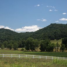
The cluster comprises five distinct wildland areas named Big Walker Mountain, Little Walker Mountain, Long Spur, Seven Sisters, and Crawfish Valley. Each section has its own character and offers different experiences as you move through the mountain landscape.
The community of curious travelers
AroundUs brings together thousands of curated places, local tips, and hidden gems, enriched daily by 60,000 contributors worldwide.