Wytheville Historic District, Historic district in Wytheville, Virginia, United States.
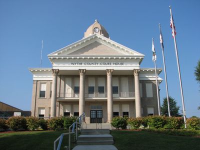
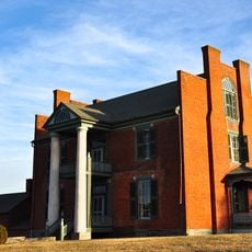
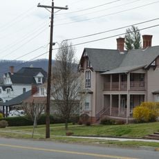
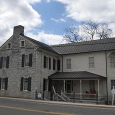
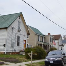
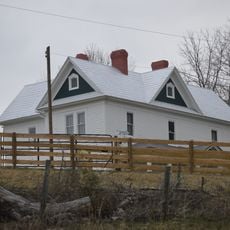
The Wytheville Historic District is a residential area in Virginia with over 200 buildings constructed between the 1830s and 1940s. The structures include homes, shops, and public buildings in various architectural styles that show how the town developed over more than a century.
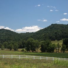
The district grew during Virginia's early industrial period, with buildings that reflect the area's economic development during that time. It was added to the National Register of Historic Places in 1994, recognizing its importance for preserving these structures.
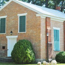
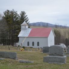
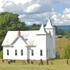
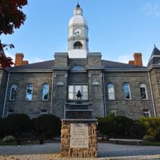
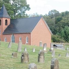
The district displays different building styles from various periods, reflecting the taste and construction methods of each generation. The Millwald Theatre from 1928 and Holy Trinity Lutheran Church from 1876 are special places where you can see how the community gathered and celebrated together.
The best time to explore is during daytime when you have good light to see the details of facades and windows clearly. A local map from the visitor center helps you locate different buildings and plan interesting walking routes through the area.
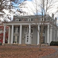
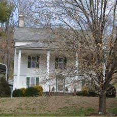
The area was the birthplace of Edith Bolling Galt Wilson, who later became Second Lady of the United States after marrying President Woodrow Wilson. Her house stands as a quiet reminder of a remarkable life story that began in this town.
The community of curious travelers
AroundUs brings together thousands of curated places, local tips, and hidden gems, enriched daily by 60,000 contributors worldwide.