Enable Location

We need your location to show you interesting places around you

Discover nearby places

Find interesting locations and hidden gems around you

Precise directions

Get accurate directions and distances to places

Your location is never shared with other users. It's only used when you tap the location button.

Wytheville

Log in to your account

Start exploring — it's free

Trusted by 62,543 travelers worldwide

Continue with Google
Continue with Apple
or

We will send you a code to connect

By continuing, you accept our Terms and Conditions and our Privacy Policy

Check your inbox

We've sent a pincode in your inbox. Please enter the code below.

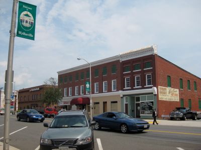
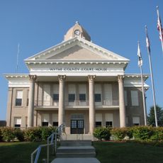
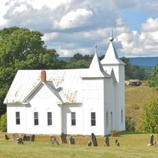
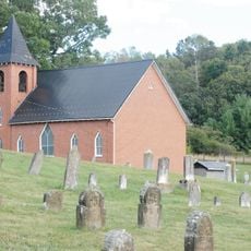
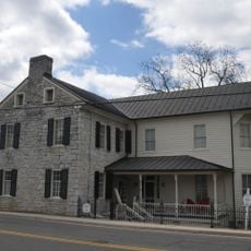
Wytheville, County seat in Southwestern Virginia, United States.

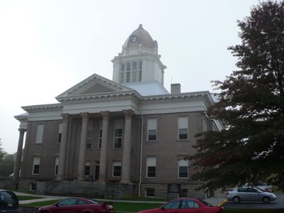
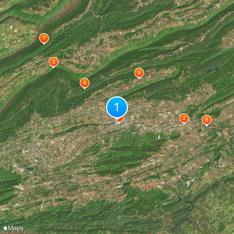
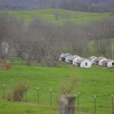
Wytheville sits where Interstate 81 and 77 meet within the rolling hills of Wythe County, serving as the county seat. The town spreads across an elevation of about 697 meters surrounded by rural landscape and woodland areas.

The town was first founded in 1792 under the name Evansham. It later took its current name to honor George Wythe, Virginia's first signer of the Declaration of Independence.

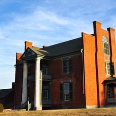
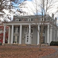
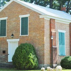
The Edith Bolling Wilson Birthplace Museum honors the First Lady who was born here in 1872 and later shaped the nation's direction. Visitors can see where a woman from this mountain town rose to national influence.

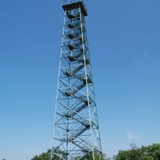
The Crystal Springs Recreation Area offers hiking trails and open spaces for visitors to explore. The best time for outdoor activities is from late spring through early fall when weather is comfortable.

During the Civil War, the town endured two major raids: Toland's Raid in 1863 and Stoneman's Raid in 1865. These events left deep marks on the community and shaped its path forward.

The community of curious travelers

AroundUs brings together thousands of curated places, local tips, and hidden gems, enriched daily by 60,000 contributors worldwide.

Start exploring
Location
Elevation above the sea
697 m
GPS coordinates
36.94780,-81.08690
Latest update
December 14, 2025 20:40
Around this place
The Mansion at Fort Chiswell
United States of America

The Mansion at Fort Chiswell

13.3 km
Big Walker Lookout
United States of America

Big Walker Lookout

16.6 km
United States of America

Walker Mountain Cluster

9.3 km
Wytheville Historic District
United States of America

Wytheville Historic District

471 m
Graham's Forge Mill
United States of America

Graham's Forge Mill

17.9 km
United States of America

Hunting Camp Creek Wilderness

21.3 km
Loretto
United States of America

Loretto

1.2 km
Crockett's Cove Presbyterian Church
United States of America

Crockett's Cove Presbyterian Church

9.8 km
Wythe County Poorhouse Farm
United States of America

Wythe County Poorhouse Farm

6.4 km
St. John's Lutheran Church and Cemetery
United States of America

St. John's Lutheran Church and Cemetery

2.3 km
McGavock Family Cemetery
United States of America

McGavock Family Cemetery

14.4 km
Kimberling Lutheran Cemetery
United States of America

Kimberling Lutheran Cemetery

19.7 km
Maj. David Graham House
United States of America

Maj. David Graham House

19.5 km
United States of America

Sanders Farm

20.9 km
Reed Creek Mill
United States of America

Reed Creek Mill

1.7 km
Zion Evangelical Lutheran Church Cemetery
United States of America

Zion Evangelical Lutheran Church Cemetery

16.9 km
United States of America

Trinkle Mansion

135 m
Haller-Gibboney Rock House
United States of America

Haller-Gibboney Rock House

377 m
United States of America

Devil's Den-Ewing Mountain

16.4 km
United States of America

Horse Heaven (conservation area)

17.1 km
United States of America

Little Walker Mountain

21.5 km
Junius Marcellus Updyke Farm
United States of America

Junius Marcellus Updyke Farm

20 km
Jackson Ferry Shot Tower
United States of America

Jackson Ferry Shot Tower

21.1 km
United States of America

Rural Retreat Lake

19.7 km
United States of America

Raven Cliff

13.3 km
United States of America

Eagle Cliff

12.3 km
United States of America

Wytheville Golf Club

2.1 km
United States of America

Wohlfahrt Haus Dinner Theatre

3 km
Show the full map
« Wytheville - County seat in Southwestern Virginia, United States » is provided by Around Us (aroundus.com). Images and texts are derived from Wikimedia project under a Creative Commons license. You are allowed to copy, distribute, and modify copies of this page, under the conditions set by the license, as long as this note is clearly visible.

Discover hidden gems everywhere you go!

From secret cafés to breathtaking viewpoints, skip the crowded tourist spots and find places that match your style. Our app makes it easy with voice search, smart filtering, route optimization, and insider tips from travelers worldwide. Download now for the complete mobile experience.

Around Us App Screenshot

A unique approach to discovering new places

Le Figaro

All the places worth exploring

France Info

A tailor-made excursion in just a few clicks

20 Minutes

Around Us
Travel Guide & Maps
Download

Send to your phone

QR Code
1

Open the camera app on your mobile.

2

Point at the QR code with your camera. A notification will appear.

3

Tap the notification to open the link.