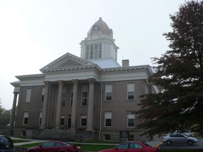
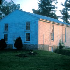
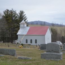
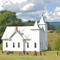
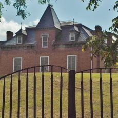
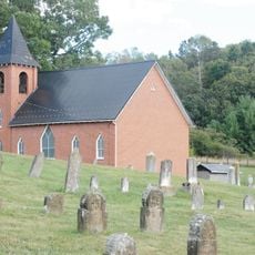
Wythe County, County seat in southwestern Virginia, US
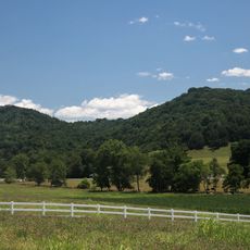
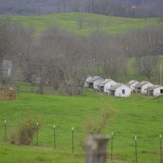
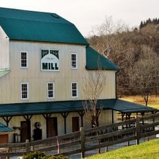
Wythe County is a county in southwestern Virginia situated on an elevated plateau region. Major interstate highways pass through the area, connecting it to broader transportation networks in the region.
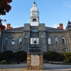
The county was established in 1790 from land that was part of Montgomery County. It was named in honor of George Wythe, a prominent Virginia statesman and the first signer of the Declaration of Independence from the state.
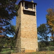
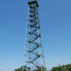
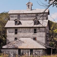
The Jackson Ferry Shot Tower stands as a testament to the county's industrial heritage, demonstrating methods of lead shot production from earlier centuries.
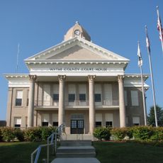
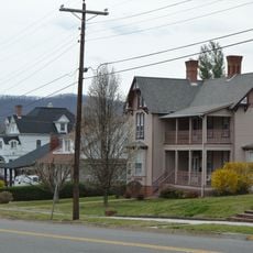
Visitors can access county administrative offices located in Wytheville for government information and services. The major highways make it straightforward to navigate through the area and reach different communities within the region.
The Jackson Ferry Shot Tower demonstrates early methods of lead shot manufacturing and stands as a reminder of the area's mining heritage. This structure reflects production techniques that were once common across industrial regions in America.
The community of curious travelers
AroundUs brings together thousands of curated places, local tips, and hidden gems, enriched daily by 60,000 contributors worldwide.