
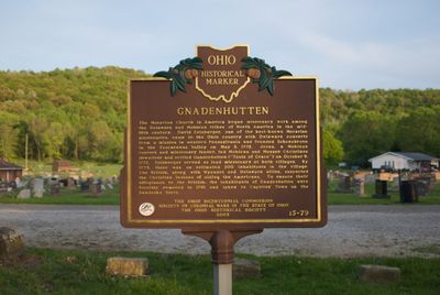
Gnadenhutten, Ohio historical marker 15-79
Location: Tuscarawas County
Part of: Remarkable Ohio
GPS coordinates: 40.35382,-81.43440
Latest update: March 6, 2025 23:57
Salt Fork State Park
28.5 km
Atwood Lake
23 km
Age of Steam Roundhouse
24.1 km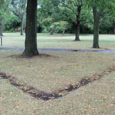
Fort Laurens
31.8 km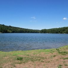
Leesville Lake
24 km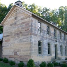
Kennedy Stone House
25.7 km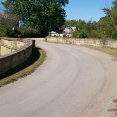
S Bridge, National Road
34.7 km
Conotton Creek Trail
31.8 km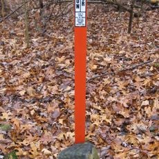
Seven Ranges Terminus
34.6 km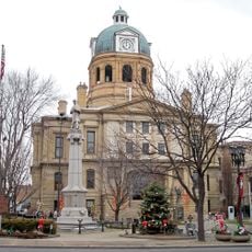
Tuscarawas County Courthouse
15.2 km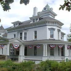
Jeremiah Reeves House and Carriage House
18.2 km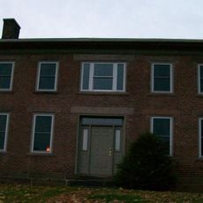
Booth Homestead
20.4 km
Broom-Braden Stone House
33.3 km
Ourant's School
27.2 km
Henry Law Farm Historic District
16.6 km
Deersville Historic District
21.4 km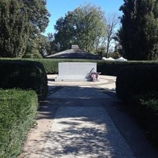
Fort Laurens Museum
31.9 km
David Warther Carvings & Gift Shop
28.3 km
Historic Zoar Village
28.8 km
Ernest Warther Museum and Gardens
19.7 km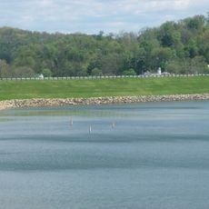
Piedmont Lake
31.9 km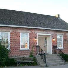
John Reaves House
21.4 km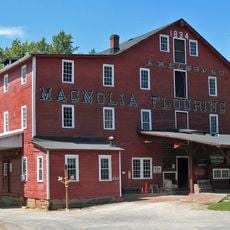
Elson-Magnolia Flour Mill
35.2 km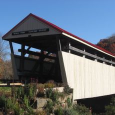
Skull Fork Covered Bridge
23.7 km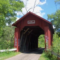
Indian Camp Covered Bridge
32.4 km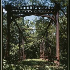
Zoarville Bridge
25.1 km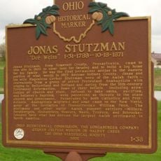
Jonas Stutzman
31.4 km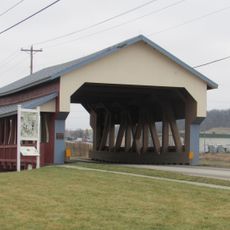
Stutzman's Crossing
31.1 kmReviews
Visited this place? Tap the stars to rate it and share your experience / photos with the community! Try now! You can cancel it anytime.
Discover hidden gems everywhere you go!
From secret cafés to breathtaking viewpoints, skip the crowded tourist spots and find places that match your style. Our app makes it easy with voice search, smart filtering, route optimization, and insider tips from travelers worldwide. Download now for the complete mobile experience.

A unique approach to discovering new places❞
— Le Figaro
All the places worth exploring❞
— France Info
A tailor-made excursion in just a few clicks❞
— 20 Minutes