Atwood Lake, Reservoir in Tuscarawas and Carroll Counties, Ohio.
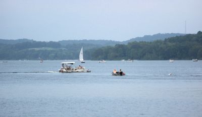
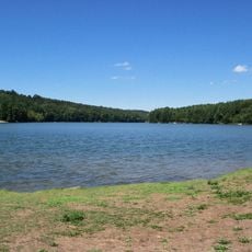
Atwood Lake is a reservoir in Tuscarawas and Carroll Counties, Ohio, covering roughly 1,540 acres with about 28 miles of shoreline. The water body supports several fish species including northern pike, channel catfish, largemouth bass, and yellow perch, while multiple boat launches and two marinas serve recreational users.
The lake was created in 1936 when the Atwood Dam was completed by the Muskingum Watershed Conservancy District, which transferred control to the U.S. Army Corps of Engineers in 1939. The dam was built to manage flooding and store water for the surrounding region.
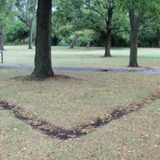
The lake takes its name from the former community of Atwood, which was flooded during dam construction, with old rail station remnants becoming visible in winter. This submerged settlement shapes how locals understand and relate to the landscape.
The lake is accessible from shore via several boat launch ramps, and two marinas provide boat rentals and other services. Water conditions can vary depending on the season and water management decisions, so planning ahead is helpful.
Every November, water levels drop to reveal sections of the submerged town of Atwood, which appears when managers lower the reservoir to increase flood capacity and control aquatic plant growth. This seasonal transformation offers a rare glimpse into the landscape that once existed before the dam.
The community of curious travelers
AroundUs brings together thousands of curated places, local tips, and hidden gems, enriched daily by 60,000 contributors worldwide.