
Parroquia Mapire, third-level administrative division in the Municipio Monagas, Anzoátegui State, Venezuela
Location: Municipio Monagas
Location: Anzoátegui
Part of: Municipio Monagas
GPS coordinates: 7.83753,-64.79736
Latest update: March 4, 2025 00:43
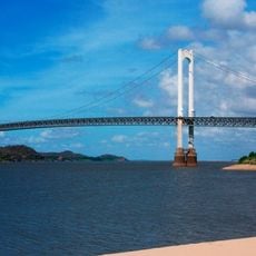
Angostura Bridge
136.6 km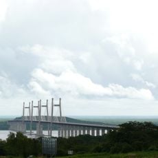
Second Orinoco crossing
214.6 km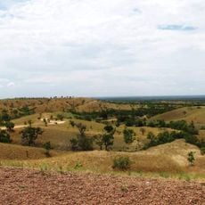
Aguaro-Guariquito National Park
221.3 km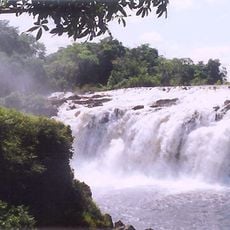
Llovizna Falls
239.2 km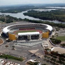
Polideportivo Cachamay
237.5 km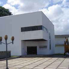
Jesús Soto Museum of Modern Art
142.8 km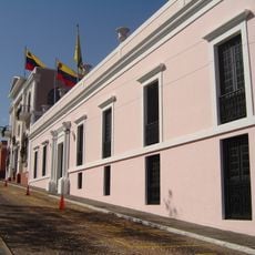
Casa del Congreso de Angostura
141.4 km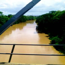
Depresión de Unare
222.3 km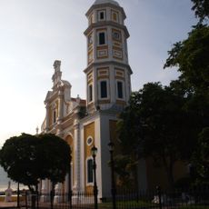
St. Thomas Cathedral
141.5 km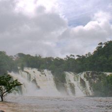
Para Falls
172.1 km
Catedral Nuestra Señora del Valle
130.2 km
Loefling Zoo
236.4 km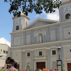
Our Lady of Candelaria Cathedral, Valle de la Pascua
202.6 km
Guri Reservoir
199.6 km
La Paragua Forest Reserve
239 km
Parque Francisco de Miranda La Bandera
134.3 km
Sierra Maigualida Natural Monument
245.5 km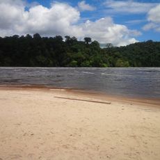
Acuerdo de Conservación Tzazenai
92.5 km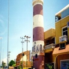
Puerto Píritu Lighthouse
249.5 km
Alcaldía del Municipio Simón Rodríguez Anzoátegui
131.1 km
Acuerdo de Conservación Suapure
96.3 km
Capravera River Hydraulic Reserve
203.2 km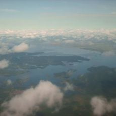
El Frio Forest Reserve
241.6 km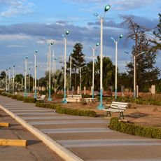
Paseo de la Virgen del Valle
131.9 km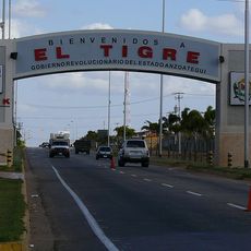
Monumento Entrada a El Tigre
133 km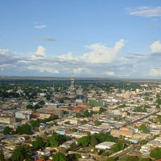
Monumento de El Tigre Anzoátegui
131.7 km
Parque Turístico de El Tigre
132.8 km
Plaza Monumental Simon Bolivar
130.8 kmReviews
Visited this place? Tap the stars to rate it and share your experience / photos with the community! Try now! You can cancel it anytime.
Discover hidden gems everywhere you go!
From secret cafés to breathtaking viewpoints, skip the crowded tourist spots and find places that match your style. Our app makes it easy with voice search, smart filtering, route optimization, and insider tips from travelers worldwide. Download now for the complete mobile experience.

A unique approach to discovering new places❞
— Le Figaro
All the places worth exploring❞
— France Info
A tailor-made excursion in just a few clicks❞
— 20 Minutes