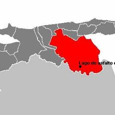
Anzoátegui, Administrative division in northeastern Venezuela
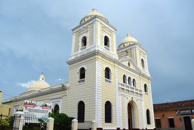
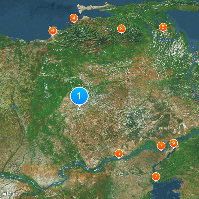
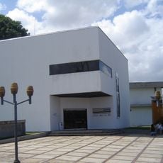
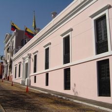
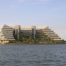
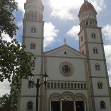
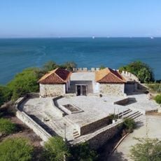
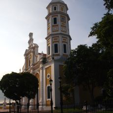
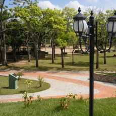
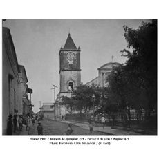
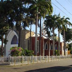
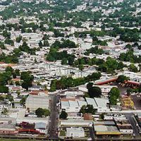
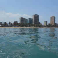
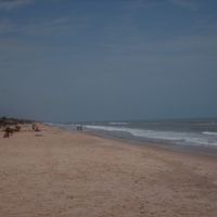
Anzoátegui is a state in northeastern Venezuela stretching from the Caribbean coast to the southern plains. The territory includes cities such as Barcelona, Puerto La Cruz, and Anaco, along with agricultural and industrial zones.
The territory was established as a separate state in 1909 after splitting from the larger administrative unit of Bolivar. The region gained economic importance through the oil industry during the 20th century.
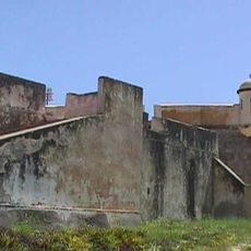
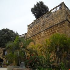
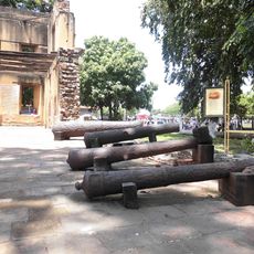
The name honors José Antonio Anzoátegui, an independence hero from the battles against Spanish rule. In many towns, monuments and street names recall his role in the nation's foundation.
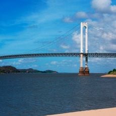
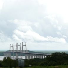
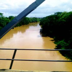
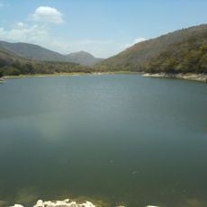
Roads connect the coastal cities with inland settlements and allow access to different landscapes. The climate varies between the coastal areas and the southern plains, so layered clothing is helpful.
A natural gap in the coastal mountain range eases the connection between the coast and inland areas. This geographic feature has shaped regional trade and travel routes throughout time.
The community of curious travelers
AroundUs brings together thousands of curated places, local tips, and hidden gems, enriched daily by 60,000 contributors worldwide.