Depresión de Unare, Geological depression in northeastern Venezuela.
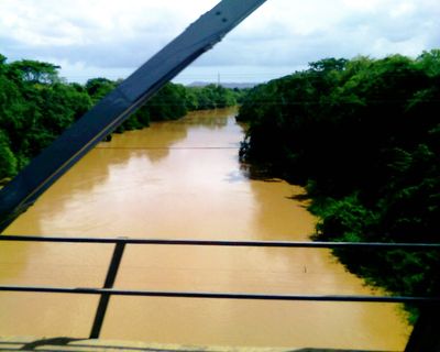
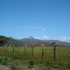
The Depresión de Unare is a geological depression in northeastern Venezuela that lies between the Interior Mountain Range and the Eastern Cordillera. It forms a natural corridor connecting the central plains with the territories further east.
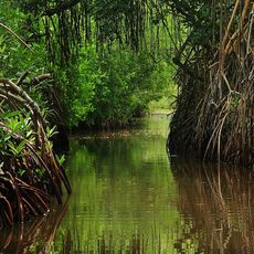
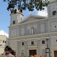
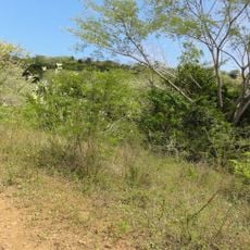
Indigenous peoples established settlements throughout the depression region, adapting to the dry tropical forest environment over centuries. The depression shaped migration routes and settlement patterns for these early communities.
Local communities in the Unare Depression maintain traditional farming practices that reflect adaptations to the specific soil conditions and climate patterns.
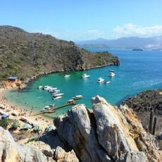
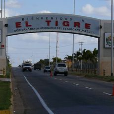
The depression spans parts of Miranda, Anzoátegui, and Guárico states and can be reached via regional highways. The dry season offers the best conditions for exploring, with clearer visibility and more accessible routes.
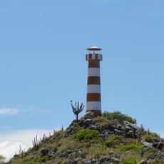
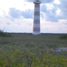
Caribbean sea breezes penetrate inland through this depression for up to 250 kilometers. This creates distinctive cloud patterns during the dry season that influence local climate and vegetation.
The community of curious travelers
AroundUs brings together thousands of curated places, local tips, and hidden gems, enriched daily by 60,000 contributors worldwide.