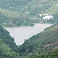
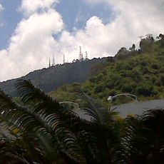
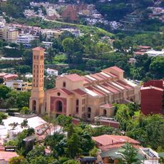
Camatagua Reservoir, national historical monument of Venezuela in Camatagua
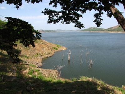
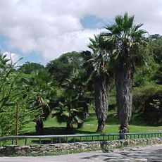
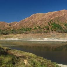
Camatagua Reservoir is a large water storage facility near the town of Camatagua, created to prevent droughts and provide drinking water to Caracas and surrounding areas. The water body spreads across about 7,000 hectares and contains roughly 28 small islands along with several beaches where visitors can swim and relax.
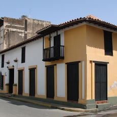
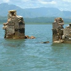
The reservoir was formed by damming the Guárico River and was planned in the 1960s as a water security project for Caracas, with construction completed shortly after. Two towns, Guanayén and San Francisco de Cara, were flooded to create this water body, permanently reshaping the region and displacing local residents.
The reservoir serves as a gathering place for residents of Camatagua, where families come to fish, swim, and have picnics together. It holds emotional importance for locals, who view it as part of their community identity and a space where daily life and nature intersect naturally.
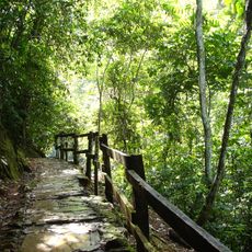
The reservoir is accessible year-round and works well for day trips from nearby cities like Caracas, Maracay, or Valencia. Camping and overnight stays are available for visitors wanting to stay longer, and visiting during the dry season is recommended when water levels are higher and conditions are more favorable.
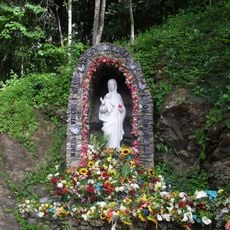
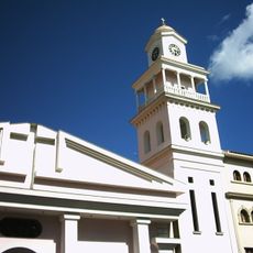
When water levels drop, remnants of the submerged towns of Guanayén and San Francisco de Cara emerge from beneath the surface, including ruins of an old church. These moments remind visitors of the human story beneath the water and add a haunting historical dimension to the place.
The community of curious travelers
AroundUs brings together thousands of curated places, local tips, and hidden gems, enriched daily by 60,000 contributors worldwide.