Thanh Ba, district in Northeast, Vietnam
Location: Phú Thọ
Elevation above the sea: 28 m
GPS coordinates: 21.45000,105.16700
Latest update: March 3, 2025 05:08


Hùng Temple
18.8 km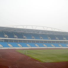
My Dinh National Stadium
78.2 km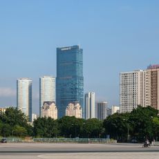
AON Hanoi Landmark Tower
80.1 km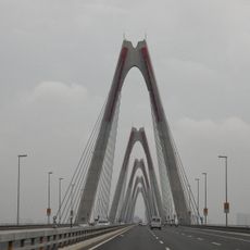
Nhật Tân Bridge
78.6 km
Nui Coc Lake
56.4 km
Tam Đảo
45.2 km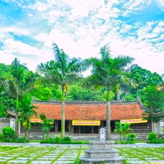
Thầy Temple
68.8 km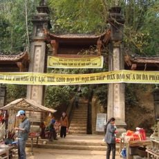
Chùa Tây Phương
63.7 km
Thăng Long Bridge
75.2 km
Co Loa Citadel
82.3 km
Vietnam Museum of Ethnology
79.9 km
Lotte Center Hanoi
81.5 km
Son Tay Ancient Citadel
49.2 km
Thanh Trì Bridge
75.2 km
Thu Le Park
81.2 km
Ba Vi National Park
46.3 km
Hanoi Museum
80.8 km
Tam Dao National Park
40.4 km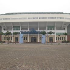
Quần Ngựa Sports Palace
81.2 km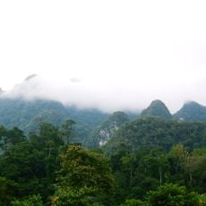
Xuan Son National Park
41.3 km
Viet Tri Stadium
30.2 km
Cầu Giấy
80.7 km
Thanh Chuong Viet Palace
68.7 km
Vat Bridge
77.2 km
Thác Bà Lake
34.4 km
Daewoo overpass
81.7 km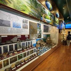
Vietnam National Museum of Nature
79.5 km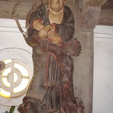
Collection of Buddhist statues at Tay Phuong temple
64 kmReviews
Visited this place? Tap the stars to rate it and share your experience / photos with the community! Try now! You can cancel it anytime.
Discover hidden gems everywhere you go!
From secret cafés to breathtaking viewpoints, skip the crowded tourist spots and find places that match your style. Our app makes it easy with voice search, smart filtering, route optimization, and insider tips from travelers worldwide. Download now for the complete mobile experience.

A unique approach to discovering new places❞
— Le Figaro
All the places worth exploring❞
— France Info
A tailor-made excursion in just a few clicks❞
— 20 Minutes