
Đình Bảng, Stadtviertel in Vietnam
Location: Từ Sơn
Elevation above the sea: 8 m
GPS coordinates: 21.10167,105.94722
Latest update: June 22, 2025 16:51

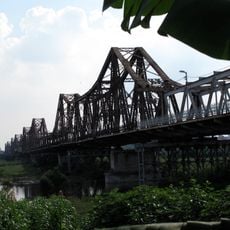
Long Bien Bridge
11.2 km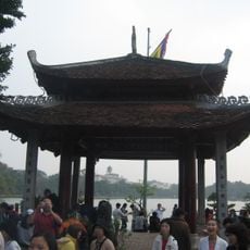
Temple of the Jade Mountain
12.7 km
Dâu pagoda
12.2 km
Co Loa Citadel
7.8 km
Phật Tích Temple
8 km
National Museum of Vietnamese History
12.5 km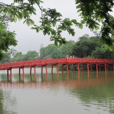
The Huc Bridge
12.6 km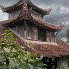
Bút Tháp Temple
9 km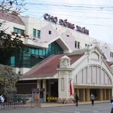
Dong Xuan Market
12.3 km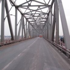
Chương Dương Bridge
11.4 km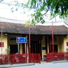
Bach Ma temple
12.4 km
Vietnam National Museum of Fine Arts
13.9 km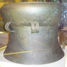
Ngọc Lũ drum
12.5 km
Dong Tru Bridge
8 km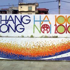
Hanoi Ceramic Mosaic Mural
12.2 km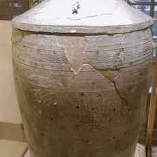
Đào Thịnh bronze jar
12.5 km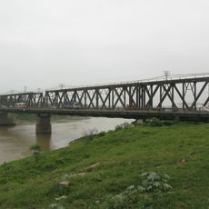
Duong River Bridge
4.8 km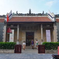
Viet Dong Guildhall
12.3 km
Vietnam Museum of Revolution
12.5 km
Ô Quan Chưởng
12.2 km
Chùa Keo temple
9.5 km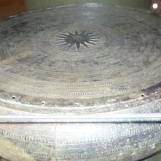
Hoàng Hạ bronze drum
12.5 km
Binh Minh Jazz Club
12.6 km
Phố Bích Họa Phùng Hưng
12.6 km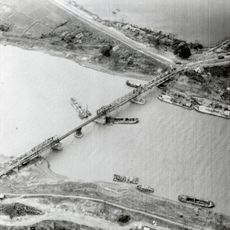
Sông Bé Bridge
4.8 km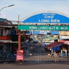
Chợ Long Biên
12 km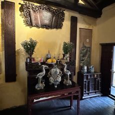
Heritage House
12.3 km
Phở cuốn
12.7 kmReviews
Visited this place? Tap the stars to rate it and share your experience / photos with the community! Try now! You can cancel it anytime.
Discover hidden gems everywhere you go!
From secret cafés to breathtaking viewpoints, skip the crowded tourist spots and find places that match your style. Our app makes it easy with voice search, smart filtering, route optimization, and insider tips from travelers worldwide. Download now for the complete mobile experience.

A unique approach to discovering new places❞
— Le Figaro
All the places worth exploring❞
— France Info
A tailor-made excursion in just a few clicks❞
— 20 Minutes