
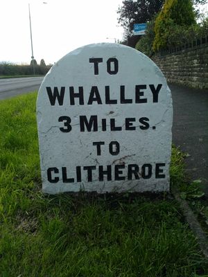
Milestone On South Side Of Road Circa 220 Metres West Of Corner Of Simonstone Lane
Milestone On South Side Of Road Circa 220 Metres West Of Corner Of Simonstone Lane, milestone in Simonstone, Ribble Valley, Lancashire, UK
Location: Simonstone
Inception: 19 century
GPS coordinates: 53.80623,-2.34730
Latest update: April 10, 2025 22:06

Read Hall and Park
1.5 km
Huntroyde Hall
1.5 km
Martholme Viaduct
2.2 km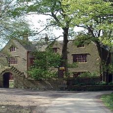
Shuttleworth Hall
2.5 km
Martholme
2.1 km
St James' Church, Altham
1.4 km
Town Hall
2.3 km
Cellar Restaurant
2.1 km
Church of St Leonard
2.1 km
Church of St John Evangelist
701 m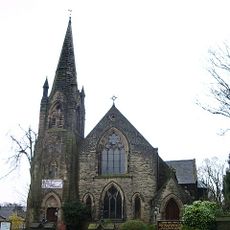
Nazareth Unitarian Church
1.9 km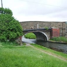
Canal Bridge (Altham Bridge)
2.6 km
St Peter's Church, Simonstone
296 m
2 Pairs Of Gate Piers With Gates At Entrance Drive To Read Hall
2 km
Lodge To Read Hall
2 km
Altham War Memorial, Lancashire
1.5 km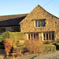
Green Farm Cottage Green Farm House
2.4 km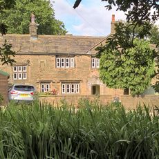
Hargrove Farmhouse
2.5 km
Gatehouse At Martholme
2.1 km
Outer Archway At Martholme
2.1 km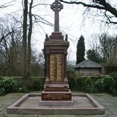
Padiham War Memorial
1.9 km
Icehouse North East Of Read Hall
1.5 km
Houlker's Farmhouse
849 m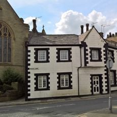
1 and 3 Moor Lane
2.1 km
Milestone, jct with A680, S of tollhouse at traffic lights
2.7 km
Milestone, jct Accrington & Burnley Roads
2.7 km
Milepost, Whalley Road, W of village, opp. small wood
859 m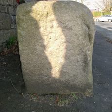
Guidestone, jct Sabden Road, Higham Road & Slade Lane
2 kmReviews
Visited this place? Tap the stars to rate it and share your experience / photos with the community! Try now! You can cancel it anytime.
Discover hidden gems everywhere you go!
From secret cafés to breathtaking viewpoints, skip the crowded tourist spots and find places that match your style. Our app makes it easy with voice search, smart filtering, route optimization, and insider tips from travelers worldwide. Download now for the complete mobile experience.

A unique approach to discovering new places❞
— Le Figaro
All the places worth exploring❞
— France Info
A tailor-made excursion in just a few clicks❞
— 20 Minutes