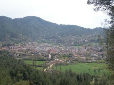
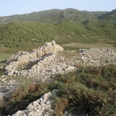
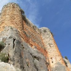
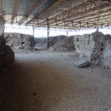
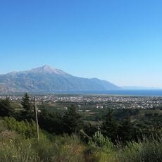
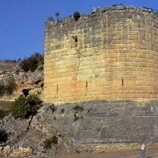
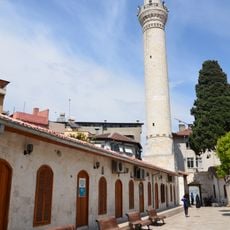
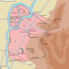
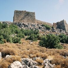
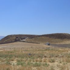
Yayladağı, district and town of Hatay Province, Turkey
Location: Hatay Province
Elevation above the sea: 450 m
Shares border with: Altınözü, Defne, Samandağ, Jisr al-Shughur District, Latakia District
GPS coordinates: 35.90255,36.06032
Latest update: March 5, 2025 20:38
Armenians in Turkey
42 km
Musa Dagh
33.3 km
Church of Saint Peter
35.8 km
Citadel of Salah Ed-Din
34.1 km
Alalakh
47.4 km
Habib'i Neccar Mosque
34.6 km
Vespasian Titus Tunnel
27.2 km
Hazzi
9.9 km
Hatay State Assembly Building
34.6 km
Hatay Archaeology Museum
34.5 km
Royal Palace of Ugarit
41.8 km
Serjilla
44.9 km
Qarqar
30.2 km
Monastery of St. Simeon Stylites the Younger
21.2 km
St Symeon
22.5 km
Koz Castle
25.4 km
Minet el-Beida
41.6 km
Great Mosque of Antakya
34.6 km
Circus of Antioch
37.5 km
Bourzey Castle
32.9 km
Surp Asdvadzadzin church
24.9 km
Antakya Synagogue
34.4 km
Bani Qahtan Castle
35.5 km
Tell Qarqur
31 km
Maria Ana church
28.5 km
Kfeir Kila
53.2 km
Cursat
25 km
Ugarit
41.7 kmReviews
Visited this place? Tap the stars to rate it and share your experience / photos with the community! Try now! You can cancel it anytime.
Discover hidden gems everywhere you go!
From secret cafés to breathtaking viewpoints, skip the crowded tourist spots and find places that match your style. Our app makes it easy with voice search, smart filtering, route optimization, and insider tips from travelers worldwide. Download now for the complete mobile experience.
A unique approach to discovering new places❞
— Le Figaro
All the places worth exploring❞
— France Info
A tailor-made excursion in just a few clicks❞
— 20 Minutes