Carsphairn, Scottish parish
Location: Dumfries and Galloway
Location: East Ayrshire
Shares border with: Dalry, Kells, Minnigaff, Straiton, Dalmellington, New Cumnock
GPS coordinates: 55.23419,-4.25740
Latest update: April 3, 2025 04:29
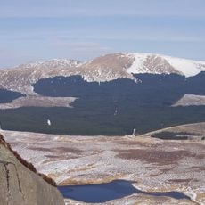
Galloway Forest Park
16.2 km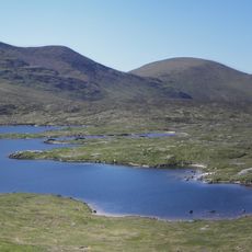
Merrick
17.1 km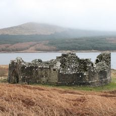
Loch Doon Castle
7.8 km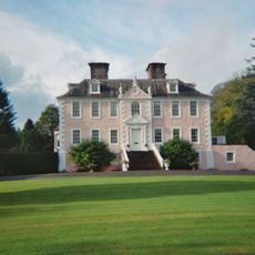
Craigdarroch
18.2 km
Range of the Awful Hand
17.3 km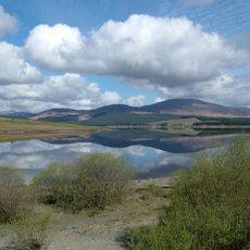
Clatteringshaws Loch
18.8 km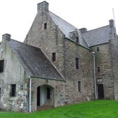
Barscobe Castle
17.7 km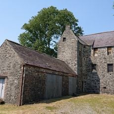
Earlston Castle
12.5 km
Corserine
10.9 km
Kirriereoch Hill
16.9 km
Shalloch on Minnoch
16.8 km
Mullwharchar
14.3 km
Craignaw
16.3 km
Silver Flowe
15.9 km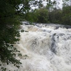
Waukers Linn
10.5 km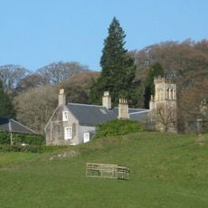
Craigengillan
11.6 km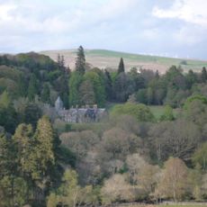
Knocknalling House
11.3 km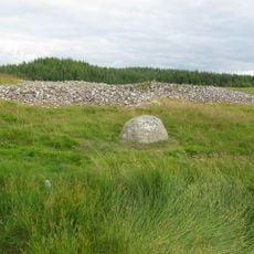
Stroanfreggan Bridge,cairn
8.6 km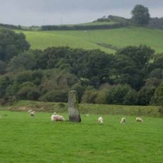
Dalarran Holm
18 km
Glenlee Power Station
15.6 km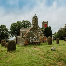
St John's Town Of Dalry Parish Church
15.4 km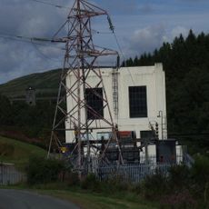
Carsfad Power Station
11 km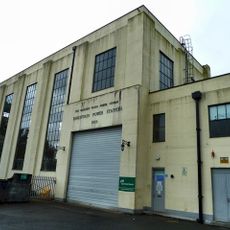
Earlstoun Power Station
14.6 km
Carsphairn Parish Church
2.5 km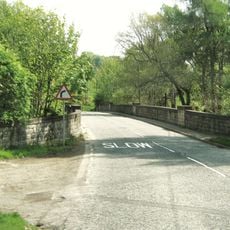
Allangibbon Bridge
14.5 km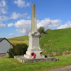
Balmaclellan, War Memorial
18.8 km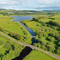
Dalmellington, Straiton Road, River Doon, Doon Bridge
14.6 km
Kendoon Power Station
8.8 kmVisited this place? Tap the stars to rate it and share your experience / photos with the community! Try now! You can cancel it anytime.
Discover hidden gems everywhere you go!
From secret cafés to breathtaking viewpoints, skip the crowded tourist spots and find places that match your style. Our app makes it easy with voice search, smart filtering, route optimization, and insider tips from travelers worldwide. Download now for the complete mobile experience.

A unique approach to discovering new places❞
— Le Figaro
All the places worth exploring❞
— France Info
A tailor-made excursion in just a few clicks❞
— 20 Minutes