Inverarity, Scottish parish in Angus, Scotland, UK
Location: Angus
Shares border with: Dunnichen, Carmyllie, Monikie, Murroes, Tealing, Glamis, Kinnettles, Forfar
GPS coordinates: 56.57802,-2.88018
Latest update: March 3, 2025 13:56
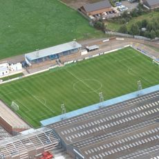
Station Park
8.3 km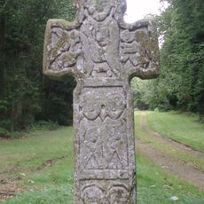
Camus Cross
8 km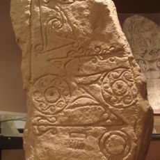
Dunnichen Stone
7.4 km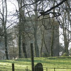
Affleck Castle
5.6 km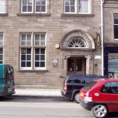
Meffan Institute
7.4 km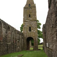
Restenneth Priory
8.6 km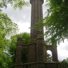
Panmure Testimonial
7.8 km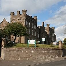
County Buildings, Market Street, Forfar
8 km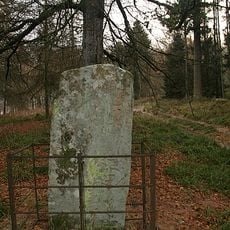
Hunter's Hill Stone
7.4 km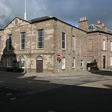
Forfar Town and County Hall
7.4 km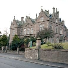
Forfar, Market Street, Sheriff Court House
8 km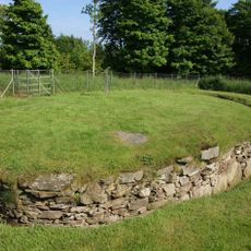
Tealing, souterrain
7 km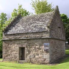
Tealing Dovecot
7 km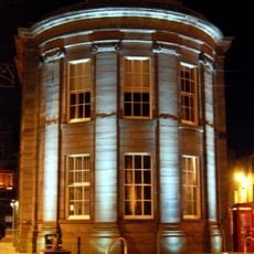
Forfar, Castle Street, Municipal Buildings
7.4 km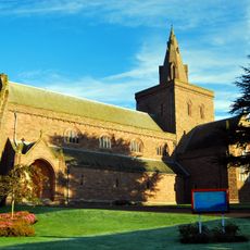
Forfar, Montrose Road, Lowson Memorial Church
7.7 km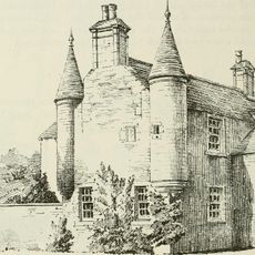
Gagie, Gagie House
5.8 km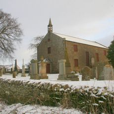
Tealing Parish Church And Churchyard
7.8 km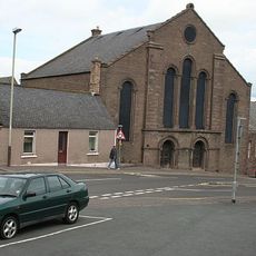
Forfar, St James' Road, St James's Church
7.3 km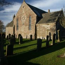
Carmyllie, St Mary's Chapel And Parish Church
8.9 km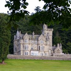
Kinnettles Castle
4.9 km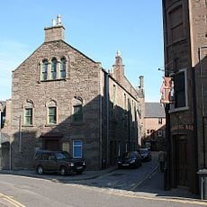
Forfar, 23 Osnaburg Street
7.3 km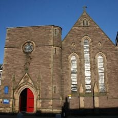
Forfar, 71 East High Street, St John's Episcopal Church
7.5 km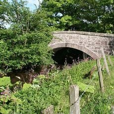
Burnside Bridge
4 km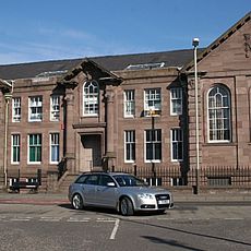
Forfar, Academy Street, Chapelpark Primary School, Main Block
7.4 km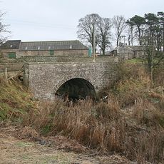
Arniefoul Bridge
6.8 km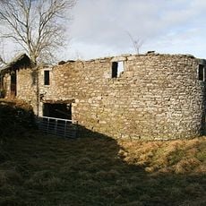
Holemill, Old Corn Mill
2.2 km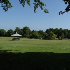
Reid Park bandstand
6.8 km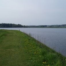
Monikie Reservoirs
7 kmVisited this place? Tap the stars to rate it and share your experience / photos with the community! Try now! You can cancel it anytime.
Discover hidden gems everywhere you go!
From secret cafés to breathtaking viewpoints, skip the crowded tourist spots and find places that match your style. Our app makes it easy with voice search, smart filtering, route optimization, and insider tips from travelers worldwide. Download now for the complete mobile experience.

A unique approach to discovering new places❞
— Le Figaro
All the places worth exploring❞
— France Info
A tailor-made excursion in just a few clicks❞
— 20 Minutes