
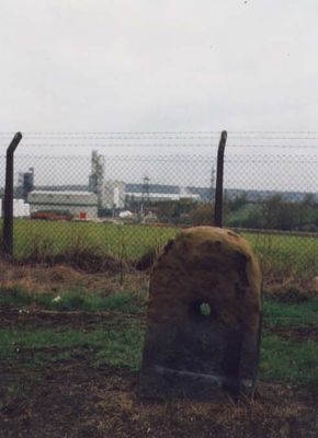
Milestone, Bawtry Road, Brinsworth, 150m W of Bonet Lane opp pedestrian refuge in road
Milestone, Bawtry Road, Brinsworth, 150m W of Bonet Lane opp pedestrian refuge in road, milestone in Rotherham, UK
Location: Rotherham
Inception: 18 century
GPS coordinates: 53.40728,-1.38067
Latest update: March 5, 2025 05:47
Meadowhall Centre
2.2 km
Tinsley Viaduct
2 km
Valley Centertainment
2.3 km
Magna Science Adventure Centre
1.5 km
Man of Steel
2.6 km
All Saints Church, Rotherham
3.1 km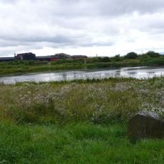
Blackburn Meadows
2.2 km
Carbrook Hall
2.4 km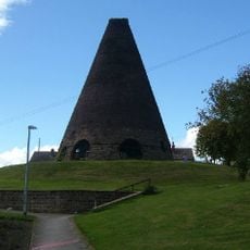
Catcliffe Glass Cone
2.1 km
High Hazels Park
2.7 km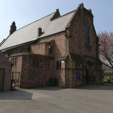
St Bede's Church, Rotherham
2.7 km
Rotherham Town Hall
2.9 km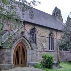
Church of St Lawrence
938 m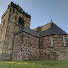
Church of St Thomas
3 km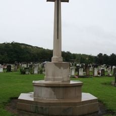
Tinsley Park Cemetery War Memorial, Sheffield
2.2 km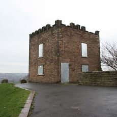
Boston Castle
2.1 km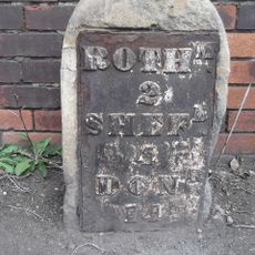
Milestone, Templeborough, at jct of Deadmans Hole Lane, W of Magna
1.5 km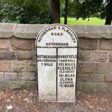
Milepost Opposite Moorgate Grove
2.6 km
25 and 27, High Street
3 km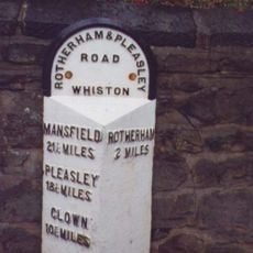
Milepost In Front Of No 229
3 km
Rotherham Grammar School War Memorial
2.5 km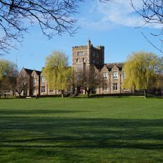
Thomas Rotherham College
2.4 km
Milepost Opposite Nos 85 And 87
1.5 km
Sewer Gas Lamp at Junction with Tipton Lane
3 km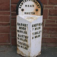
Milepost Approximately 125 Metres South-West Of Junction With Moorgate Road
3 km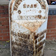
Milepost Opposite Junction With Bonet Lane
159 m
Boundary Walls And Gate Piers To Church Of St Thomas
3 km
Treeton War Memorial
3 kmVisited this place? Tap the stars to rate it and share your experience / photos with the community! Try now! You can cancel it anytime.
Discover hidden gems everywhere you go!
From secret cafés to breathtaking viewpoints, skip the crowded tourist spots and find places that match your style. Our app makes it easy with voice search, smart filtering, route optimization, and insider tips from travelers worldwide. Download now for the complete mobile experience.

A unique approach to discovering new places❞
— Le Figaro
All the places worth exploring❞
— France Info
A tailor-made excursion in just a few clicks❞
— 20 Minutes