Col de Rioupes
Location: Agnières-en-Dévoluy
Location: Le Dévoluy
GPS coordinates: 44.69857,5.89249
Latest update: October 24, 2025 17:38
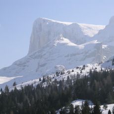
Pic de Bure
8.7 km
Plateau de Bure Interferometer
7.3 km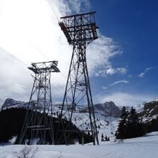
Aerial tramway of the Plateau de Bure
5.5 km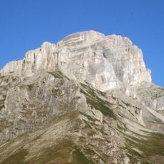
Grande Tête de l'Obiou
9.5 km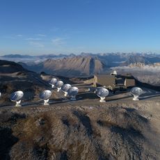
Northern Extended Millimeter Array
7.3 km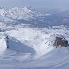
Domaine skiable du Dévoluy
3.5 km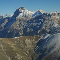
Grand Ferrand
6.7 km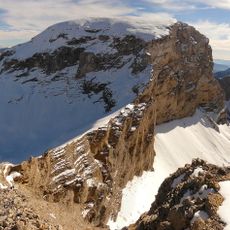
Rocher Rond
5.2 km
Château de Lesdiguières
10.1 km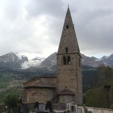
Mère Église en Dévoluy
4.2 km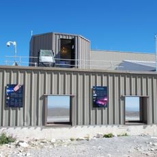
Altitude SEE Test European Platform
7.3 km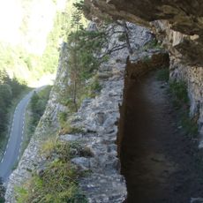
Canal de Pellafol
4.2 km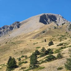
Tête_de_Girbault
6.3 km
Col du Noyer
7.3 km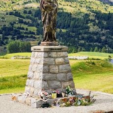
Col de Festre
4.5 km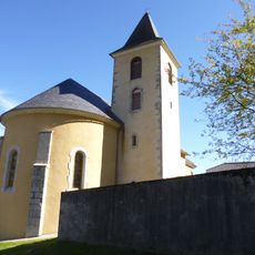
Église Saint-Jacques-et-Saint-Ambroise du Glaizil
9.3 km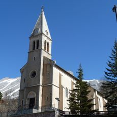
Église Saint-Étienne de Dévoluy
3.9 km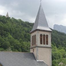
Église Saint-Didier de Saint-Disdier
4 km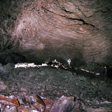
Baume du Vallonnet
4.6 km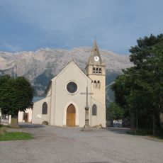
Église de Chauffayer
11 km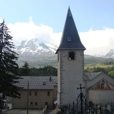
Église Notre-Dame-de-l'Assomption d'Agnières-en-Dévoluy
1 km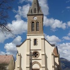
Église de l'Assomption des Payas
11.1 km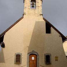
Chapelle Notre-Dame-du-Laus et de la Nativité-de-la-Sainte-Vierge des Evarras
9.7 km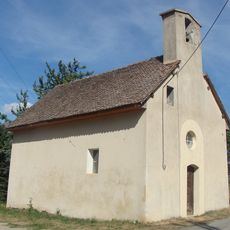
Chapelle Saint-Grégoire des Forestons
11.1 km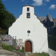
Chapelle de la Nativité-de-Notre-Dame de la Posterle
8.5 km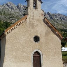
Chapelle de Truziaud
5.3 km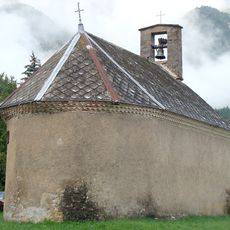
Chapelle Saint-Étienne de Poligny
10.3 km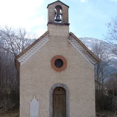
Chapelle de la Sainte-Croix de la Pierre
10.4 kmReviews
Visited this place? Tap the stars to rate it and share your experience / photos with the community! Try now! You can cancel it anytime.
Discover hidden gems everywhere you go!
From secret cafés to breathtaking viewpoints, skip the crowded tourist spots and find places that match your style. Our app makes it easy with voice search, smart filtering, route optimization, and insider tips from travelers worldwide. Download now for the complete mobile experience.

A unique approach to discovering new places❞
— Le Figaro
All the places worth exploring❞
— France Info
A tailor-made excursion in just a few clicks❞
— 20 Minutes