
Cascade de Runes
Location: Fraissinet-de-Lozère
Location: Pont de Montvert - Sud Mont Lozère
Accessibility: Wheelchair inaccessible
GPS coordinates: 44.37889,3.67437
Latest update: October 24, 2025 17:38
Cham des Bondons
6.4 km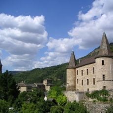
Château de Florac
9 km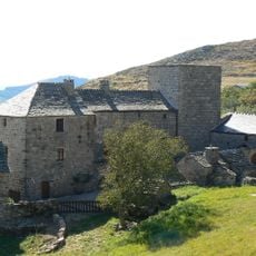
Château de Grizac
4.5 km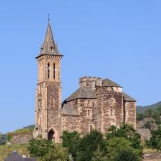
Collégiale de Bédouès
6.7 km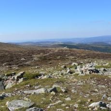
Sommet de Finiels
7.4 km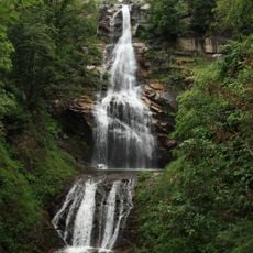
Cascade de Rûnes
26 m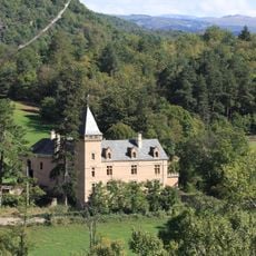
Château d'Arigès
7.7 km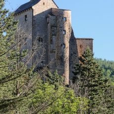
Château de Miral
3.7 km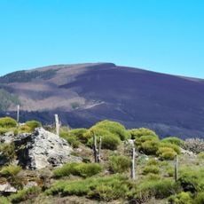
Signal du Bougès
8 km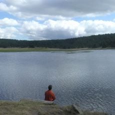
Étang de Barrandon
9.4 km
Château de Saint-Julien-d'Arpaon
9 km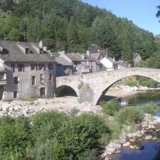
Pont de Montvert
5.8 km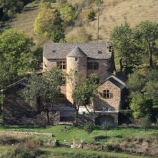
Manoir d'Issenges
7.5 km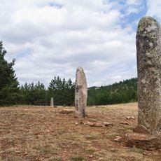
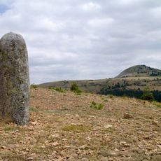
Menhirs de la Fage
7.4 km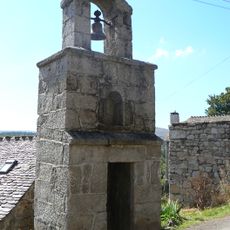
Clocher de tourmente de Servies
9.4 km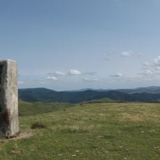
Menhirs de Colobrières
4.1 km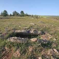
Les Combes dolmen
7.6 km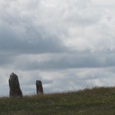
Menhirs de la colline de Treimes
2 km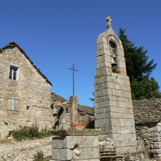
Ensemble patrimonial de Saint-Étienne-du-Valdonnez
8.7 km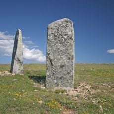
Menhirs de la Veissière
3.3 km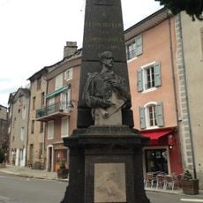
Monument to Léon Boyer
8.8 km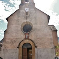
Église Saint-Jean-Baptiste de Cocurès
5.5 km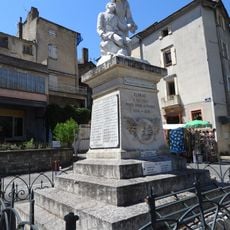
Florac war memorial
8.8 km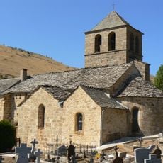
Église Saint-Saturnin des Bondons
4.7 km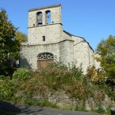
Église Sainte-Marie de Fraissinet-de-Lozère
2.1 km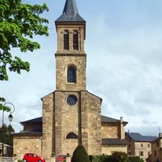
Église Saint-Martin de Florac
8.9 km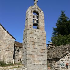
Clocher de tourmente de la Fage
8.7 km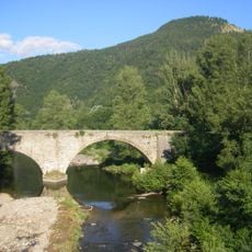
Bridge over the Tarn
8.4 kmReviews
Visited this place? Tap the stars to rate it and share your experience / photos with the community! Try now! You can cancel it anytime.
Discover hidden gems everywhere you go!
From secret cafés to breathtaking viewpoints, skip the crowded tourist spots and find places that match your style. Our app makes it easy with voice search, smart filtering, route optimization, and insider tips from travelers worldwide. Download now for the complete mobile experience.

A unique approach to discovering new places❞
— Le Figaro
All the places worth exploring❞
— France Info
A tailor-made excursion in just a few clicks❞
— 20 Minutes