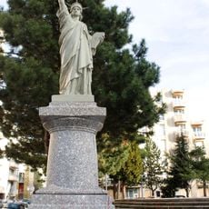
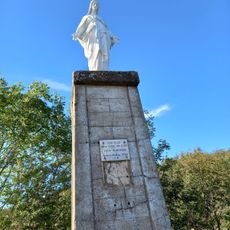
Belvédère du Guizay, Toposcope and viewpoint in Planfoy, France.
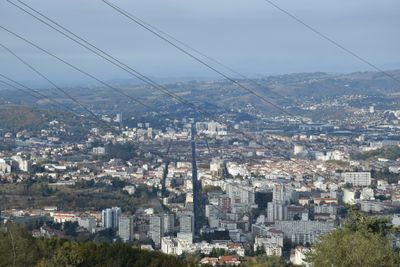
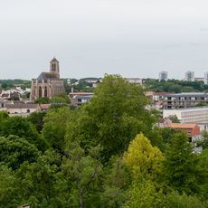
Belvédère du Guizay is a viewpoint with an orientation table located at roughly 900 meters elevation in the Pilat Regional Nature Park. The table helps visitors identify and understand the mountains and valleys surrounding Saint-Etienne.
The orientation table documents seven hills circling Saint-Etienne and distinguishes them from the waste heaps created during the coal mining era. This difference shows how the landscape was shaped by industrial activity.
The viewpoint reveals how Saint-Etienne's neighborhoods spread across the landscape below. From this elevated position, you can see the city's layout and understand how its different districts are arranged.
A roughly 90-meter path connects the parking area to the orientation table with a gentle slope, making it accessible for people with limited mobility. The flat space at the viewpoint provides plenty of room to stop and explore the surroundings.
The orientation table features tactile elements with raised cardinal directions and contrasting colors for different users. Audio descriptions are accessible through QR codes and help all visitors understand the landscape.
The community of curious travelers
AroundUs brings together thousands of curated places, local tips, and hidden gems, enriched daily by 60,000 contributors worldwide.