Sentier de grande randonnée 738, sentier de grande randonnée en France
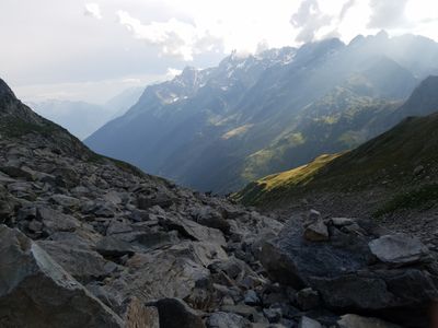
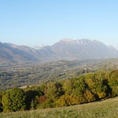
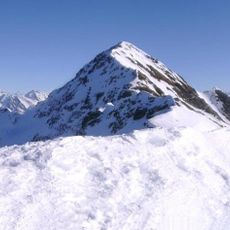
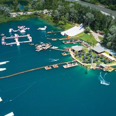
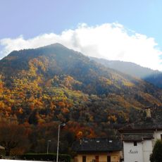
The Sentier de Grande Randonnée 738, also known as the Haute Traversée de Belledonne, is a long-distance trail that extends about 127 kilometers across the Belledonne mountain range connecting two French departments. The path crosses varied landscapes from alpine meadows and lakes through forests to rocky peaks, with elevations shifting from valley floors to above 2000 meters.
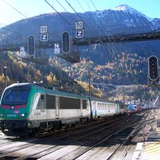
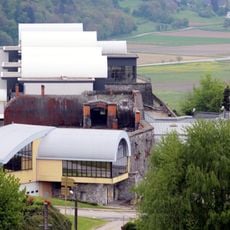
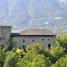
The trail was developed after years of work by local groups and coordinated by Espace Belledonne and the French Hiking Federation to create a route across the entire mountain range. The region itself witnessed mining activities with iron and copper deposits, as well as later hydroelectric development in the 19th century.
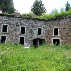
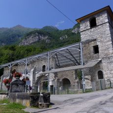
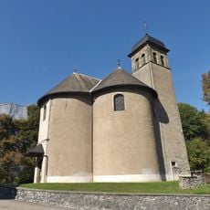
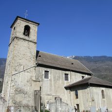
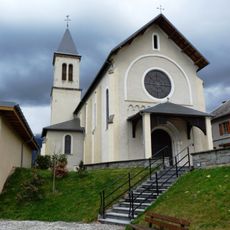
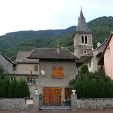
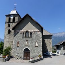
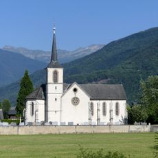
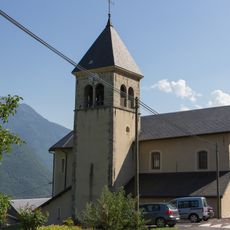
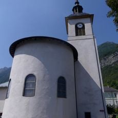
The route passes through areas shaped by shepherding and seasonal herding traditions, where flocks once moved between high pastures and lower valleys. Along the way, visitors encounter traditional mountain settlements and alpine huts that keep these pastoral practices alive.
The best time to hike is from July to September, when weather is more stable and mountain huts are open. The route is demanding and requires good physical fitness, with cumulative elevation gain exceeding 1000 meters.
Local volunteers called baliseurs maintain the trail system year-round in harsh weather conditions, ensuring every route marker remains clearly visible. Their continuous work enables countless hikers to explore this wild mountain landscape safely.
The community of curious travelers
AroundUs brings together thousands of curated places, local tips, and hidden gems, enriched daily by 60,000 contributors worldwide.