Enable Location

We need your location to show you interesting places around you

Discover nearby places

Find interesting locations and hidden gems around you

Precise directions

Get accurate directions and distances to places

Your location is never shared with other users. It's only used when you tap the location button.

Point de Vue Roches Tuilière et Sanadoire

Log in to your account

Start exploring — it's free

Trusted by 61,909 travelers worldwide

Continue with Google
Continue with Apple
or

We will send you a code to connect

By continuing, you accept our Terms and Conditions and our Privacy Policy

Check your inbox

We've sent a pincode in your inbox. Please enter the code below.

Point de Vue Roches Tuilière et Sanadoire

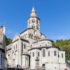
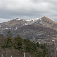
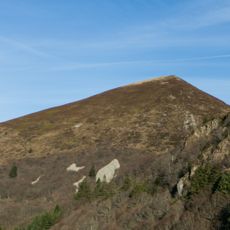
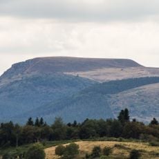
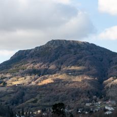
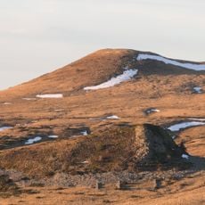
Point de Vue Roches Tuilière et Sanadoire, Volcanic observation point in Orcival, France.

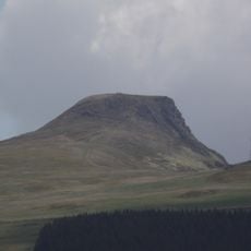
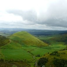
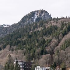
Point de Vue Roches Tuilière et Sanadoire features two ancient volcanic peaks rising from a mixed beech forest, overlooking the glacial Fontsalade valley below. The formations display distinctive columnar rock patterns and create a striking profile against the surrounding woodland.

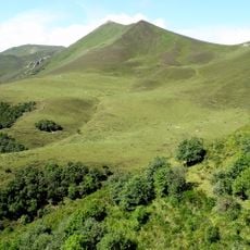
The Sanadoire rock formation hosted an impregnable fortress until the 15th century, when it served as a stronghold for English mercenaries during the Hundred Years War. This position controlled key trade routes through the mountains at that time.

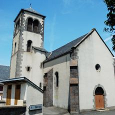
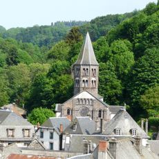
The columnar lava formations of Tuilière provided roof tiles that covered houses and churches across the region for centuries. These stone slabs shaped local building traditions and remain visible as roofing material in nearby villages.

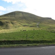
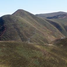
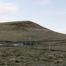
The viewpoint is accessible via a well-marked trail starting from the Col de Guéry parking area, with a moderate climb taking a few hours to complete. The rocky terrain can become slippery after rain, so sturdy footwear is recommended.

The Sanadoire rock is composed of phonolite, a material that produces a distinctive ringing sound when struck, earning the site its nickname as the 'singing rock'. This unexpected acoustic property adds a memorable sensory element to exploring the formation.

The community of curious travelers

AroundUs brings together thousands of curated places, local tips, and hidden gems, enriched daily by 60,000 contributors worldwide.

Start exploring
Location
GPS coordinates
45.62242,2.82100
Latest update
December 6, 2025 19:06
Instagrammable photo spots in Clermont-Ferrand

Clermont-Ferrand sits at the edge of a volcanic landscape in the Massif Central, offering a mix of geological formations, medieval architecture and urban spaces for photographers. The Cathedral of Notre-Dame-de-l'Assomption, built from black volcanic stone, rises above the historic center, while Puy...

« Point de Vue Roches Tuilière et Sanadoire - Volcanic observation point in Orcival, France » is provided by Around Us (aroundus.com). Images and texts are derived from Wikimedia project under a Creative Commons license. You are allowed to copy, distribute, and modify copies of this page, under the conditions set by the license, as long as this note is clearly visible.

Discover hidden gems everywhere you go!

From secret cafés to breathtaking viewpoints, skip the crowded tourist spots and find places that match your style. Our app makes it easy with voice search, smart filtering, route optimization, and insider tips from travelers worldwide. Download now for the complete mobile experience.

Around Us App Screenshot

A unique approach to discovering new places

Le Figaro

All the places worth exploring

France Info

A tailor-made excursion in just a few clicks

20 Minutes

Around Us
Travel Guide & Maps
Download

Send to your phone

QR Code
1

Open the camera app on your mobile.

2

Point at the QR code with your camera. A notification will appear.

3

Tap the notification to open the link.