Enable Location

We need your location to show you interesting places around you

Discover nearby places

Find interesting locations and hidden gems around you

Precise directions

Get accurate directions and distances to places

Your location is never shared with other users. It's only used when you tap the location button.

Puy de Barbier

Log in to your account

Start exploring — it's free

Trusted by 61,909 travelers worldwide

Continue with Google
Continue with Apple
or

We will send you a code to connect

By continuing, you accept our Terms and Conditions and our Privacy Policy

Check your inbox

We've sent a pincode in your inbox. Please enter the code below.

Puy de Barbier

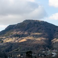
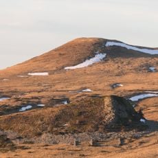
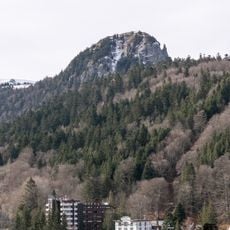
Puy de Barbier, Mountain summit in Mont Dore, France

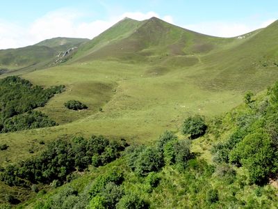
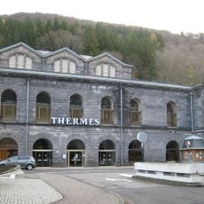
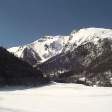
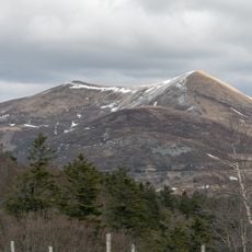
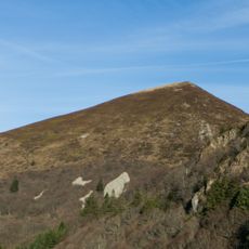
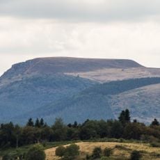
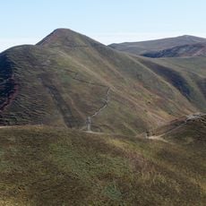
Puy de Barbier is a mountain summit in the Massif Central, rising between Mont-Dore and Chambon-sur-Lac in the Puy-de-Dôme region. The peak forms a distinctive ridge and sits close to the neighboring summit of Puy de l'Angle.

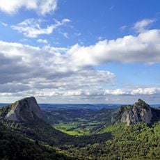
The mountain was shaped by ancient volcanic activity in the Massif Central, creating its present form. These geological forces molded the landscape of the region over many thousands of years.

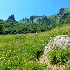
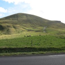
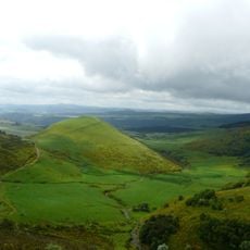
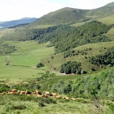
The paths here follow old routes that shepherds used to move their flocks across the landscape for generations. Visitors can walk these same trails and feel the connection between the mountain and the people who have worked here.

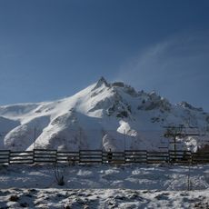
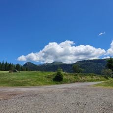
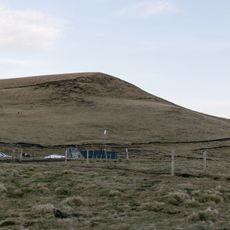
Marked hiking trails lead to the summit from both Mont-Dore and Chambon-sur-Lac, though you will need proper equipment and should watch the weather carefully. Spring through autumn offers the best conditions for making the climb.

The summit forms a rare geological pair with the nearby Puy de l'Angle, as the two peaks sit unusually close together. This proximity creates a special trekking experience for hikers wanting to visit both peaks.

The community of curious travelers

AroundUs brings together thousands of curated places, local tips, and hidden gems, enriched daily by 60,000 contributors worldwide.

Start exploring
Location
Location
Elevation above the sea
1,703 m
GPS coordinates
45.57814,2.83965
Latest update
December 14, 2025 20:26
« Puy de Barbier - Mountain summit in Mont Dore, France » is provided by Around Us (aroundus.com). Images and texts are derived from Wikimedia project under a Creative Commons license. You are allowed to copy, distribute, and modify copies of this page, under the conditions set by the license, as long as this note is clearly visible.

Discover hidden gems everywhere you go!

From secret cafés to breathtaking viewpoints, skip the crowded tourist spots and find places that match your style. Our app makes it easy with voice search, smart filtering, route optimization, and insider tips from travelers worldwide. Download now for the complete mobile experience.

Around Us App Screenshot

A unique approach to discovering new places

Le Figaro

All the places worth exploring

France Info

A tailor-made excursion in just a few clicks

20 Minutes

Around Us
Travel Guide & Maps
Download

Send to your phone

QR Code
1

Open the camera app on your mobile.

2

Point at the QR code with your camera. A notification will appear.

3

Tap the notification to open the link.