Enable Location

We need your location to show you interesting places around you

Discover nearby places

Find interesting locations and hidden gems around you

Precise directions

Get accurate directions and distances to places

Your location is never shared with other users. It's only used when you tap the location button.

Puy de Surains

Log in to your account

Start exploring — it's free

Trusted by 62,284 travelers worldwide

Continue with Google
Continue with Apple
or

We will send you a code to connect

By continuing, you accept our Terms and Conditions and our Privacy Policy

Check your inbox

We've sent a pincode in your inbox. Please enter the code below.

Puy de Surains

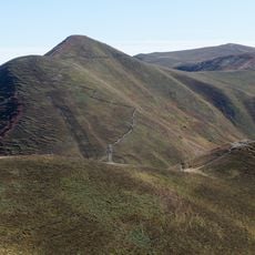
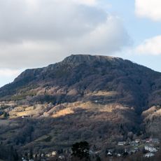
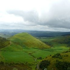
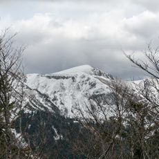
Puy de Surains, Mountain summit in Chambon-sur-Lac, France

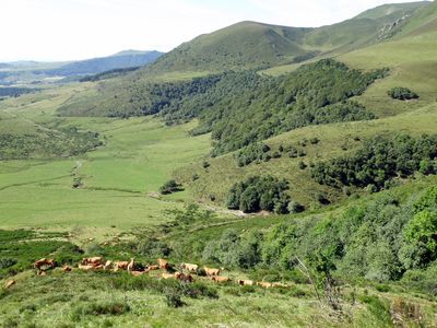
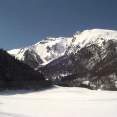
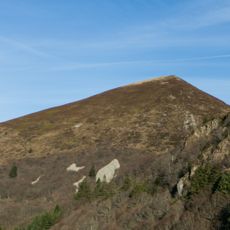
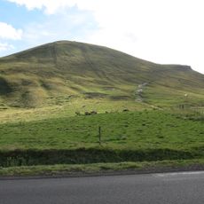
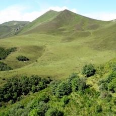
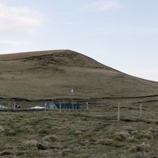
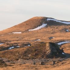
The Puy de Surains is a mountain peak around 1542 meters high with green slopes that spread across gentle pastures covered in grass. Its flanks show the typical features of the Puy-de-Dôme landscape with natural contours and open views across the terrain.

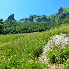
The volcanic formation of this peak dates back more than 600,000 years and was created by eruptions that fundamentally shaped the appearance of the Chaîne des Puys. This geological process created the topography of the entire region as it exists today.

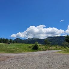
Herders use the pastures surrounding the peak to raise cattle whose milk goes into the production of Saint-Nectaire cheese, a local specialty. This practice has connected people to the land for generations and shapes the look of the plateaus.

The summit is accessible from the village of Chambon-sur-Lac via marked hiking trails, with the round trip taking about four hours. Wear sturdy shoes and bring water since the route is exposed with little shelter.

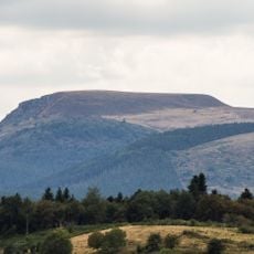
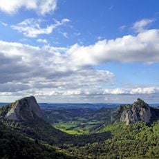
On clear days, the summit offers a view of three major landscapes at once: the Chaudefour valley with its glacial traces, Lake Chambon below, and the Sancy massif beyond. This rare three-way panorama makes it a special vantage point in the region.

The community of curious travelers

AroundUs brings together thousands of curated places, local tips, and hidden gems, enriched daily by 60,000 contributors worldwide.

Start exploring
Location
Elevation above the sea
1,542 m
GPS coordinates
45.57702,2.85389
Latest update
December 15, 2025 13:24
« Puy de Surains - Mountain summit in Chambon-sur-Lac, France » is provided by Around Us (aroundus.com). Images and texts are derived from Wikimedia project under a Creative Commons license. You are allowed to copy, distribute, and modify copies of this page, under the conditions set by the license, as long as this note is clearly visible.

Discover hidden gems everywhere you go!

From secret cafés to breathtaking viewpoints, skip the crowded tourist spots and find places that match your style. Our app makes it easy with voice search, smart filtering, route optimization, and insider tips from travelers worldwide. Download now for the complete mobile experience.

Around Us App Screenshot

A unique approach to discovering new places

Le Figaro

All the places worth exploring

France Info

A tailor-made excursion in just a few clicks

20 Minutes

Around Us
Travel Guide & Maps
Download

Send to your phone

QR Code
1

Open the camera app on your mobile.

2

Point at the QR code with your camera. A notification will appear.

3

Tap the notification to open the link.